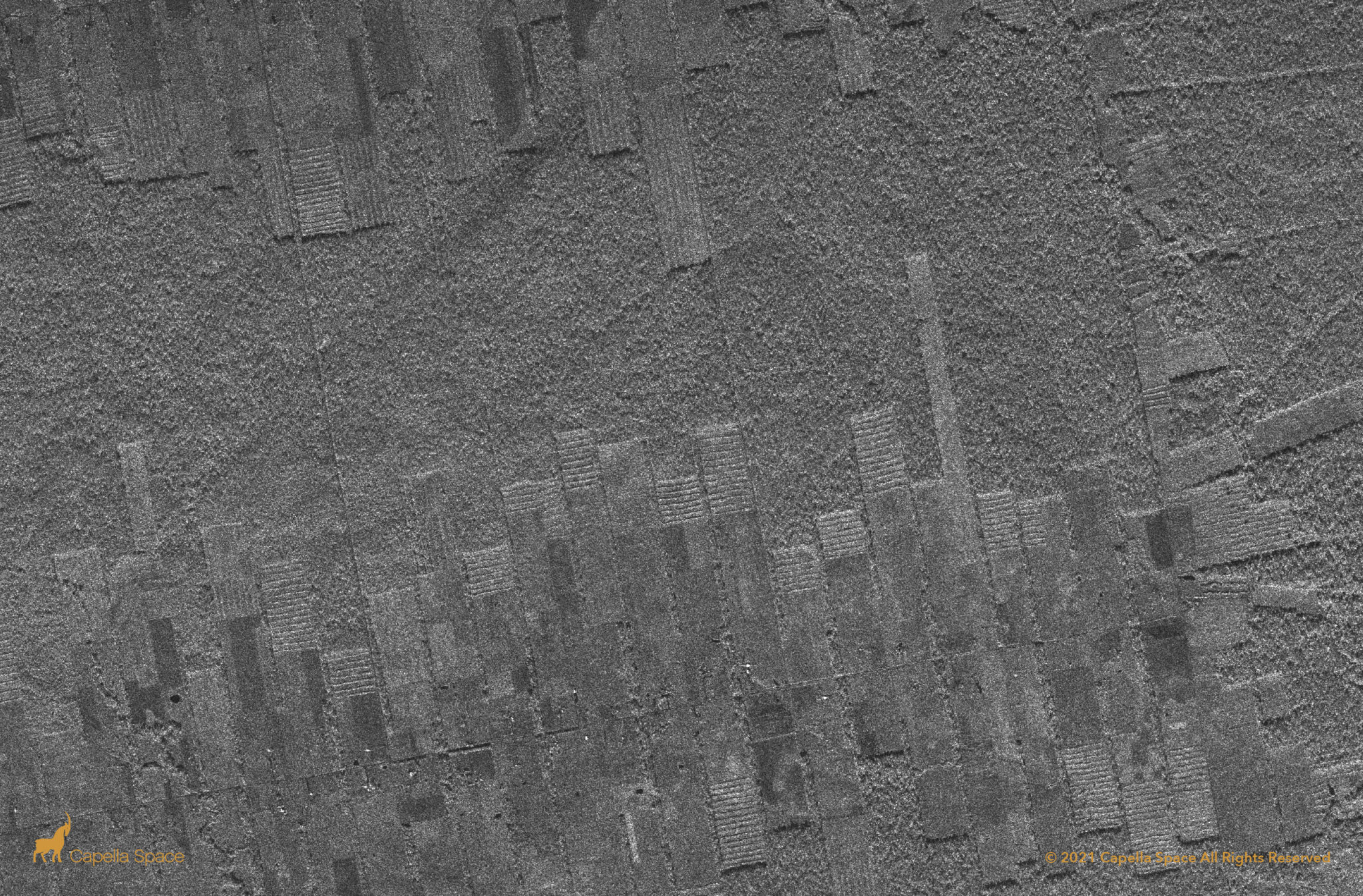
Capella’s wide swath Stripmap imagery reveals strip cut deforestation of Amazonian virgin forest. In it’s place, SAR data reveals what appears to be planted vegetation in newly formed agricultural land. When analyzing SAR data, naturally occurring forests appear in rougher patterns. The strip cut areas look artificial, showing straight lines of re-planted trees that don’t appear in nature.
