Visualizing a Changing World
Today’s landscape is defined by change: climate, aging infrastructures, to disruptive technologies and political upheavals. Monitoring and mitigating the effects of these varied events is difficult—and nearly impossible—without access to timely data converted into relevant and actionable information.
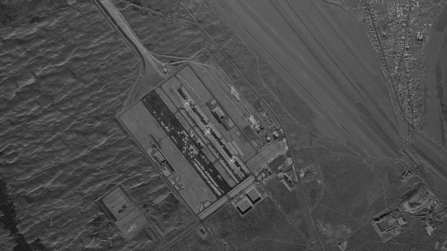
Capella Space uses Synthetic Aperture Radar (SAR) to capture and track small-scale movements on the surface of the Earth—at ports and along pipelines, in fields and on the high seas, anywhere change is occurring—and provide this data in the form you need to gain an edge. It’s information that brings new insights to your analytical models, forecasts, and business methods, helping you manage risk.

A New Way to Observe our Planet
- Defense & Intelligence
- Energy & Natural Resources
- Public Infrastructure Monitoring
- Humanitarian Assistance & Disaster Relief
- Insurance & Risk Management
- Maritime Domain Awareness
- Finance and Commodities
The Growth of Commercial SAR
The number and variety of applications that exploit Synthetic Aperture Radar (SAR) data are growing. With the growing demand for SAR images, the community of SAR users is also transforming. Radar images are now processed by GIS users, software developers, and computer vision and machine learning engineers, and are increasingly interpreted by non-radar specialists.
SAR is becoming an invaluable tool for understanding our planet.
