2021 Fort Simpson Flood

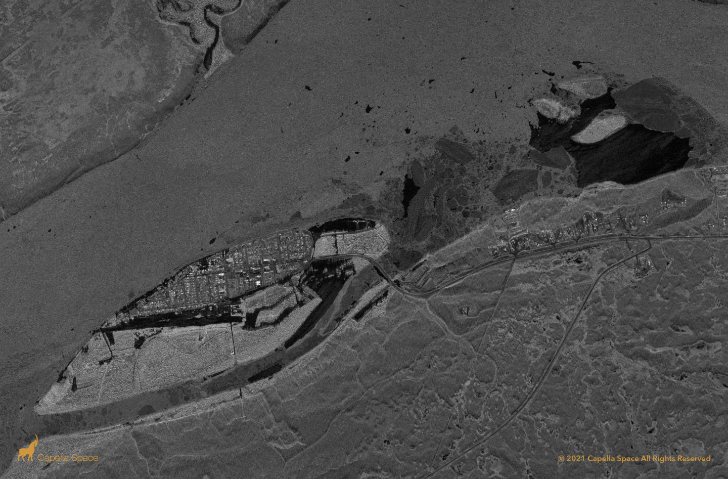
The May 10th Fort Simpson Flood in the Canadian North West Territories (NWT) displaced over 700 people. Capella’s sliding spotlight imaging mode captured the flood extent with dark areas representing areas inundated by water. Radar energy is scattered away by smooth watery surfaces indicating the flood extent.
St. John’s, Newfoundland and Labrador

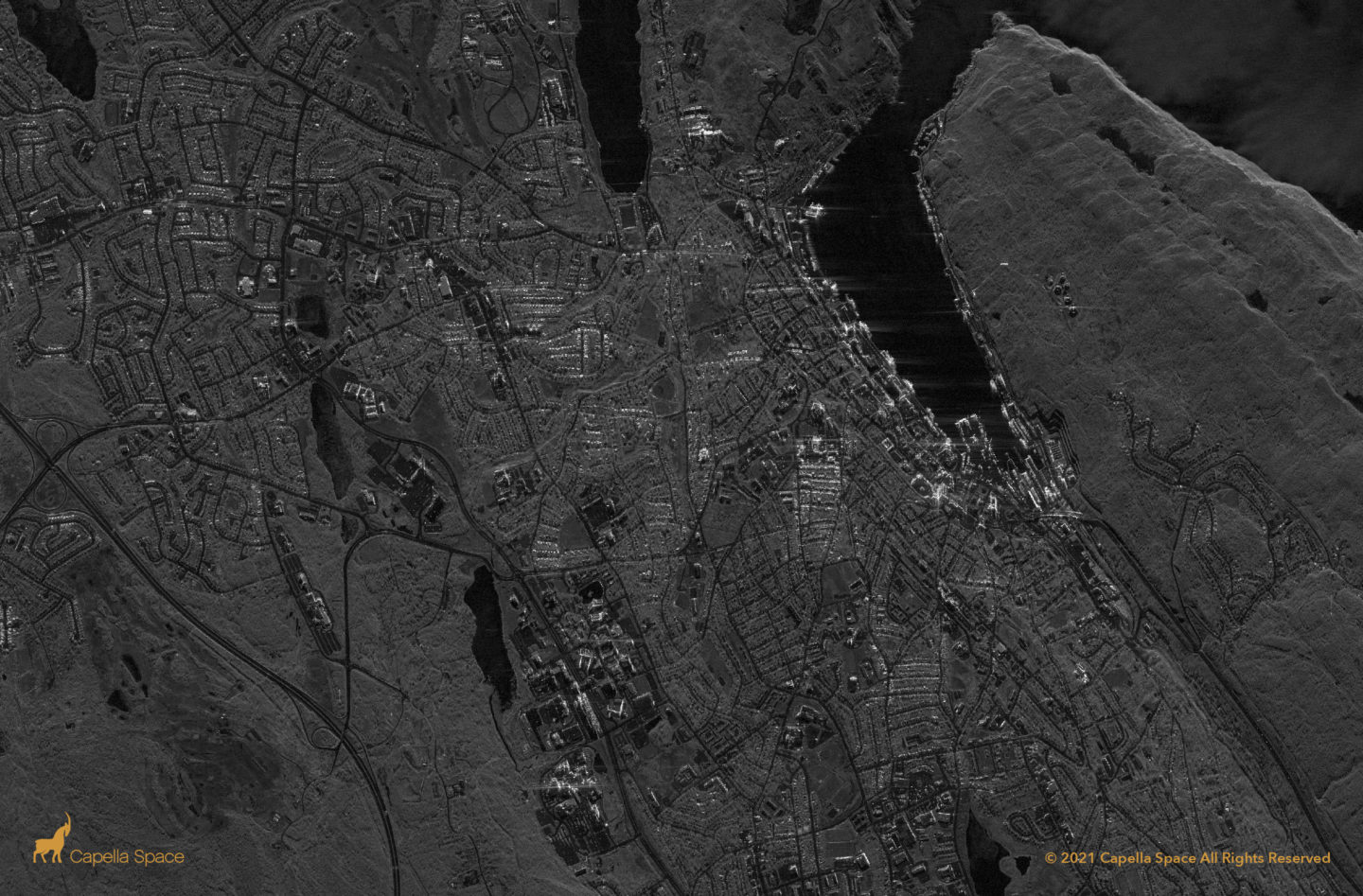
St. John’s is the capital of the Canadian province of Newfoundland and Labrador. The city is the commercial hub of the Canadian offshore oil industry. The region currently has four offshore oil producing projects: Hibernia, Terra Nova, White Rose and Hebron. In this high-resolution SAR image, you can see downtown St. John’s and St. John’s […]
Athabasca Oil Sands Deposit

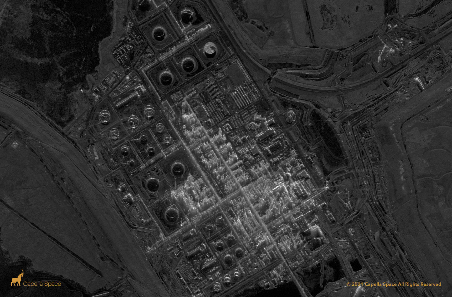
The Athabasca deposit is the largest known crude bitumen reserve in the world. This very high resolution spotlight SAR image contains features for SAR analysts to explore for oil and gas applications such as oil storage, open pit mines, tailings, and heavy hauler trucks.

