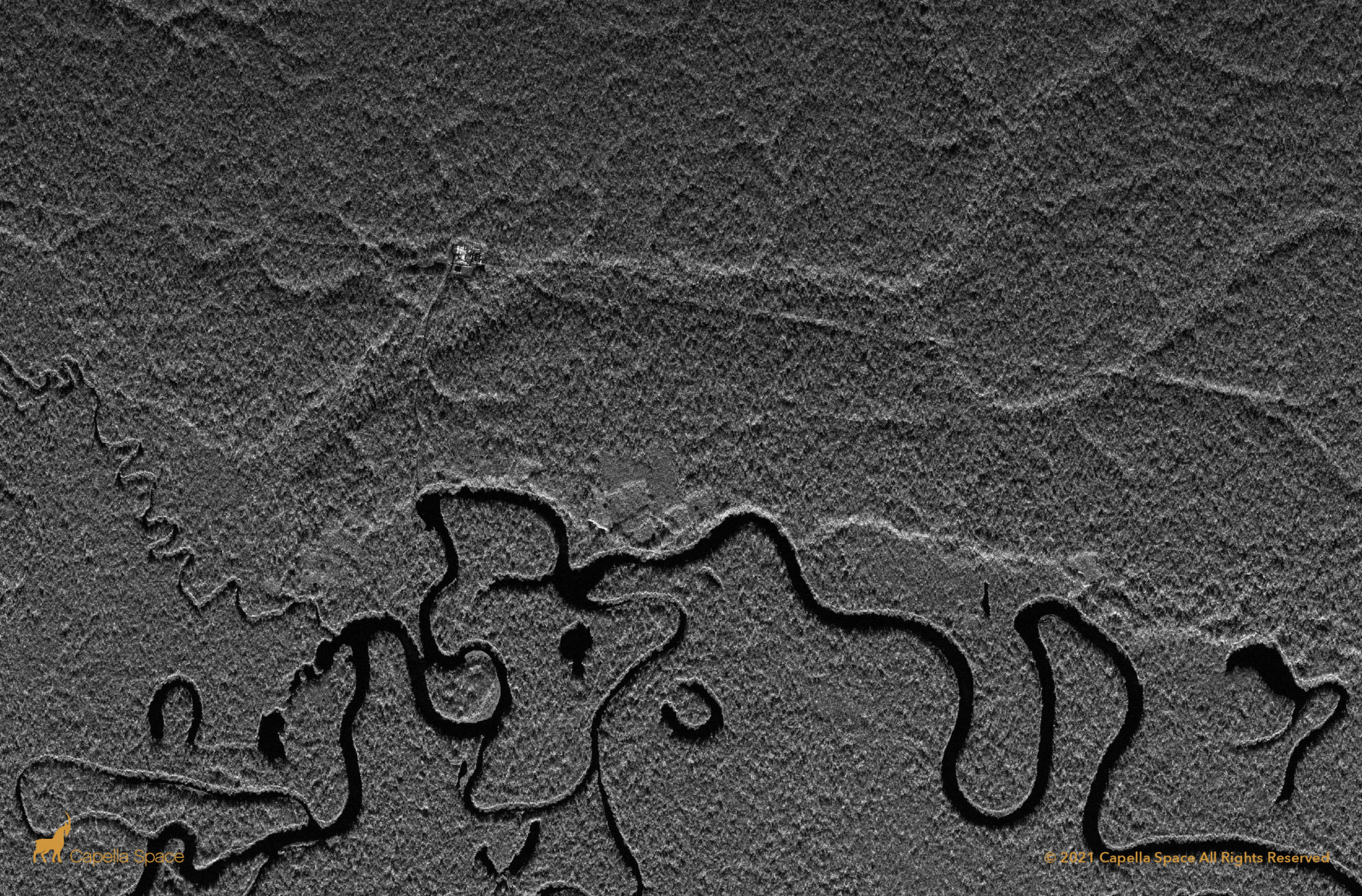
Deforestation is difficult to monitor in the tropics due to persistent cloud coverage in equatorial regions, however Capella’s all-weather SAR imagery provides transparency into new infrastructure and agricultural developments that threaten natural habitats. This SAR image clearly visualizes an access road leading from the Rio Urucu to a natural gas pipeline running parallel to the river and the deforestation that has occurred in this region at the expense of human-made infrastructure.
