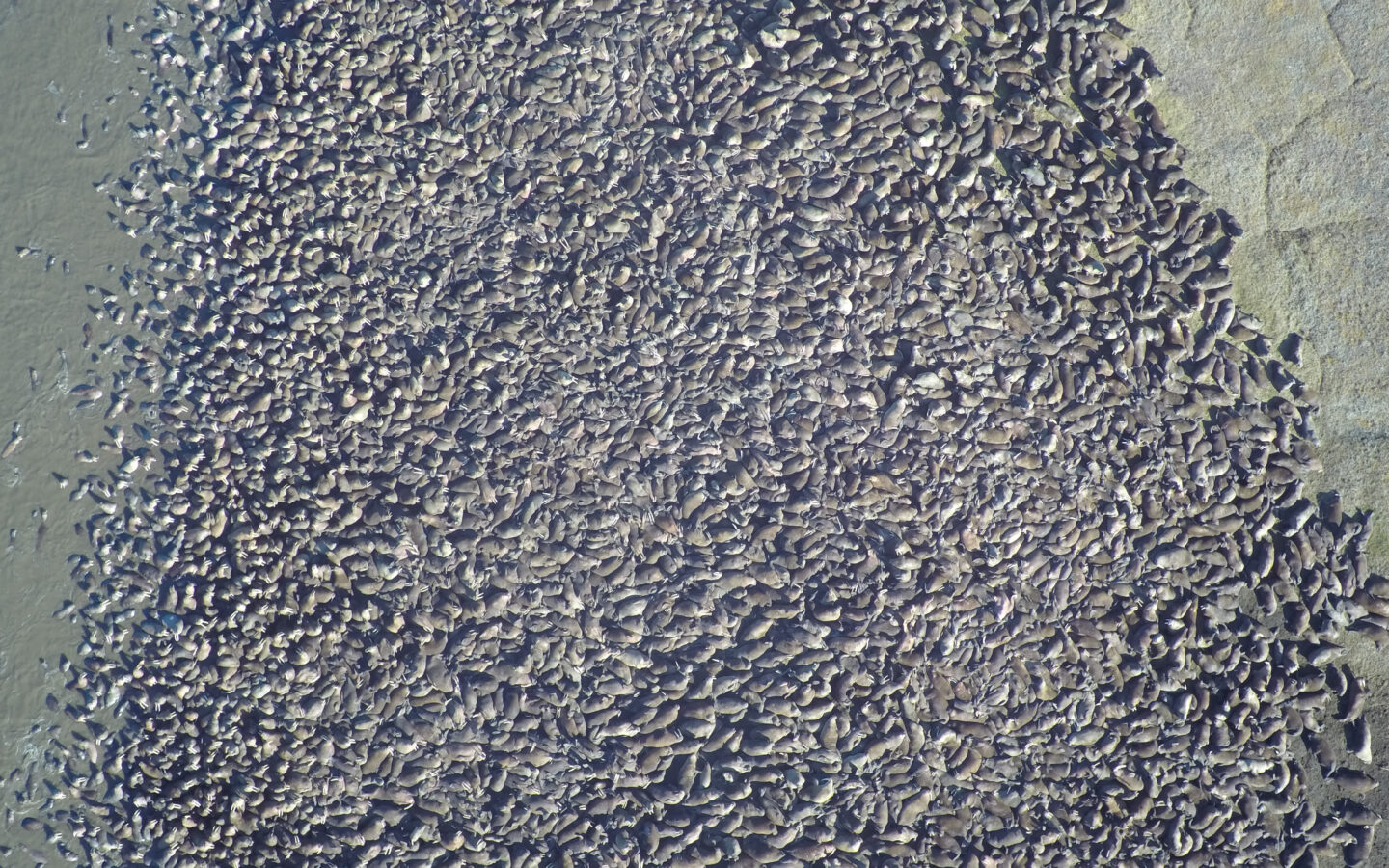
Researchers turn to SAR satellite imagery to monitor Pacific walruses as ice melt increases in the Arctic

Researchers turn to Synthetic Aperture Radar (SAR) satellite imagery to monitor Pacific walruses as ice melt increases in the Arctic The following is a guest post from the U.S. Geological Survey’s Walrus Research Program. USGS scientists are using Capella’s high resolution SAR imagery to study walruses’ use of terrestrial haulouts, which is increasing as global […]

