Francis Scott Key Bridge Collapse

Early morning on March 26, 2024 the Baltimore Francis Scott Key Bridge collapsed after it was struck by a 984-foot cargo ship. This image was Tasked and collected within hours of the event.
Derna, Libya

SAR imagery captures the scale of devastating flooding and extensive infrastructure damage after Storm Daniel – the deadliest Mediterranean tropical-like cyclone in recorded history – makes landfall at Derna, Libya.
Bahanaga Bazar, India

Bahanaga Bazar is the rural train station in India where in June 2023, India experienced its deadliest train accident in more than two decades.
2023 Islahiye, Turkey Earthquake

Spotlight image in and around the affected area of the earthquakes in Islahiye, Turkey.
2023 Gaziantep, Turkey Earthquake

Spotlight image in and around the affected area of the earthquakes in Gaziantep, Turkey.
2021 Marshall Colorado Wildfire

This Spotlight image was captured during the Marshall Fire in Colorado in December 2021. The image shows the western side of Lousiville and the northern edge of Superior, centered over the Louisville Rec Center. On the east side of the image, you can see downtown Louisville. Capella’s Louisville office is visible in the lower left […]
2021 Haiti Earthquake

Capella Space added six images from the 2021 Haiti Earthquake to its Open Data catalog for disaster response organizations and researchers to understand infrastructure change and damage. Capella SAR data as captured at L’Aisle, Les Cayes and Saint-Louis-du-Sud.
La Palma Volcanic Eruption

Capella Space tracked the volcanic eruption on La Palma to detect new vents and lava flows reaching the ocean. Capella’s open data catalog contains eight scenes covering for volcanologists and disaster response organizations to use.
Kīlauea Caldera, Hawaii Volcanoes National Park
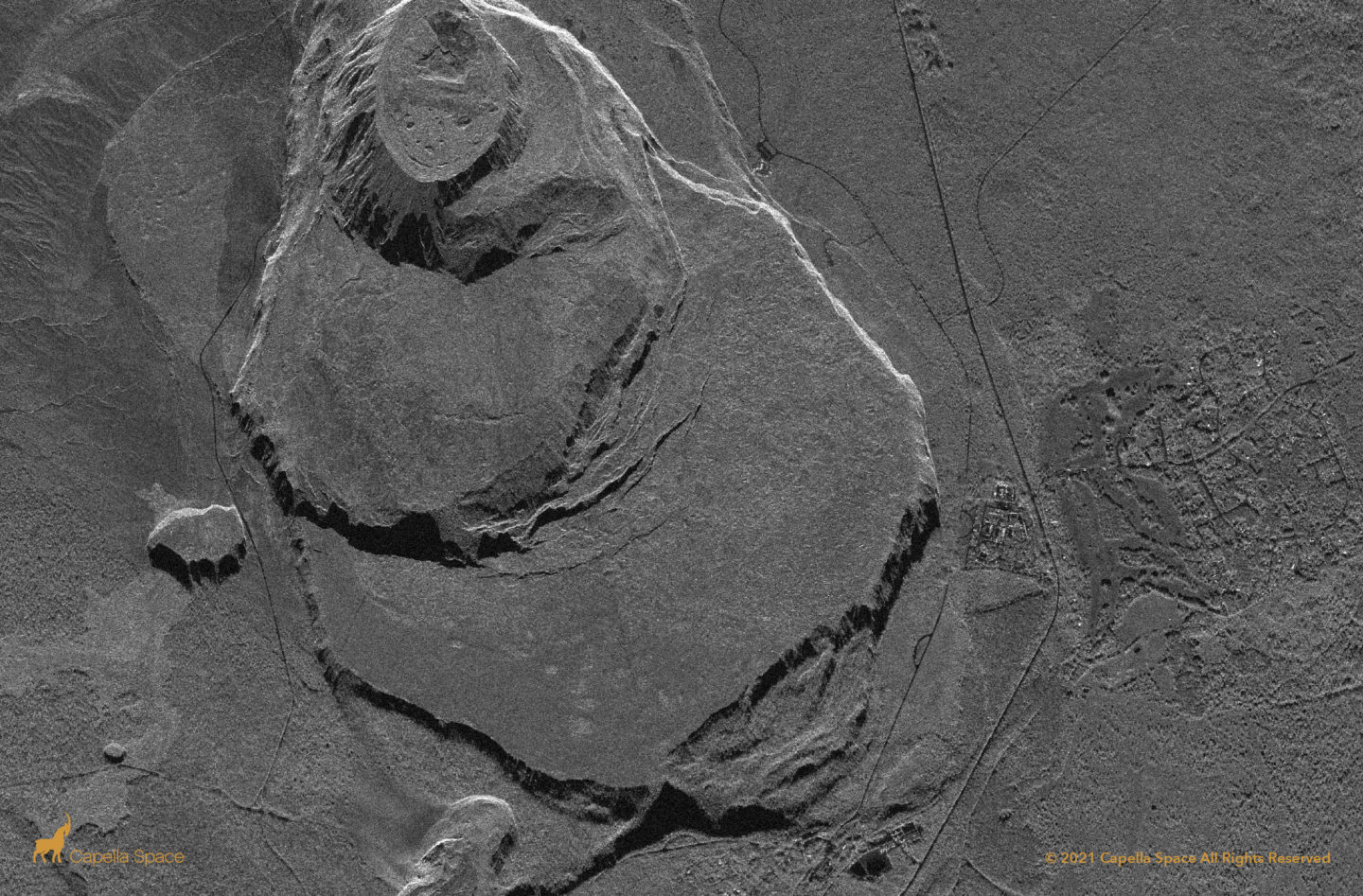
The Kilauea Caldera is located in Hawaii Volcanoes National Park on the Big Island, Hawaii. When analysts are monitoring a volcano, it’s very important for them to understand what’s happening at the top of the crater during an eruption. Smoke usually obscures the crater from optical satellites, but SAR can see through smoke and ash. […]
