Beira Airport & Pungwe River
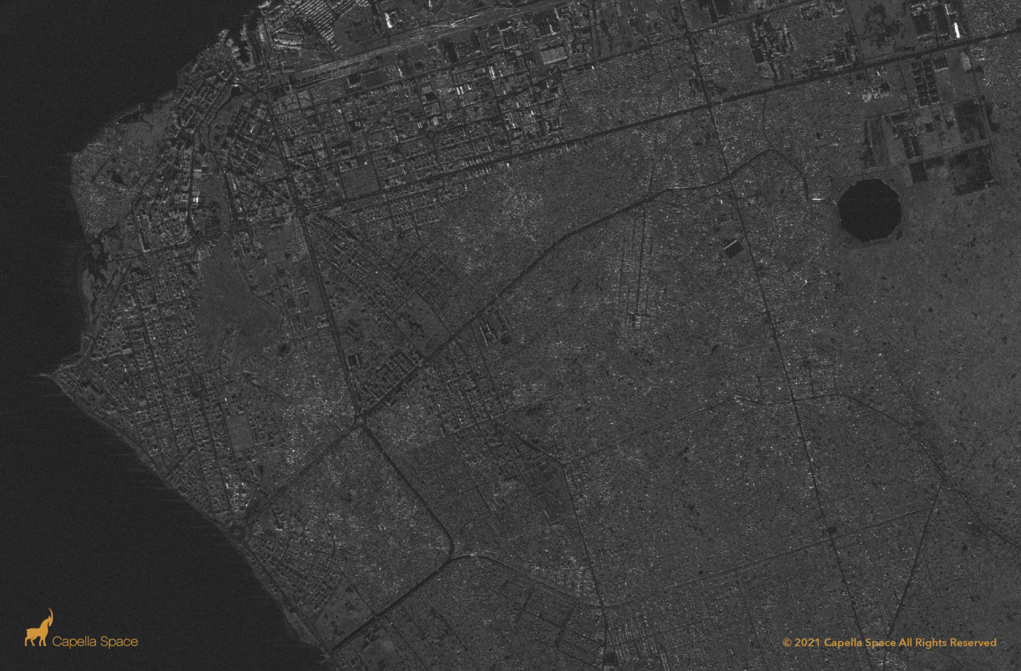
The coastal city of Beira, Mozambique was flooded in early 2021 by cyclone Eloise. Analysts can use SAR data to access timely intelligence on critical infrastructure such as the Beira airport, maritime activity and environmental change.
La Soufrière Volcano Eruption
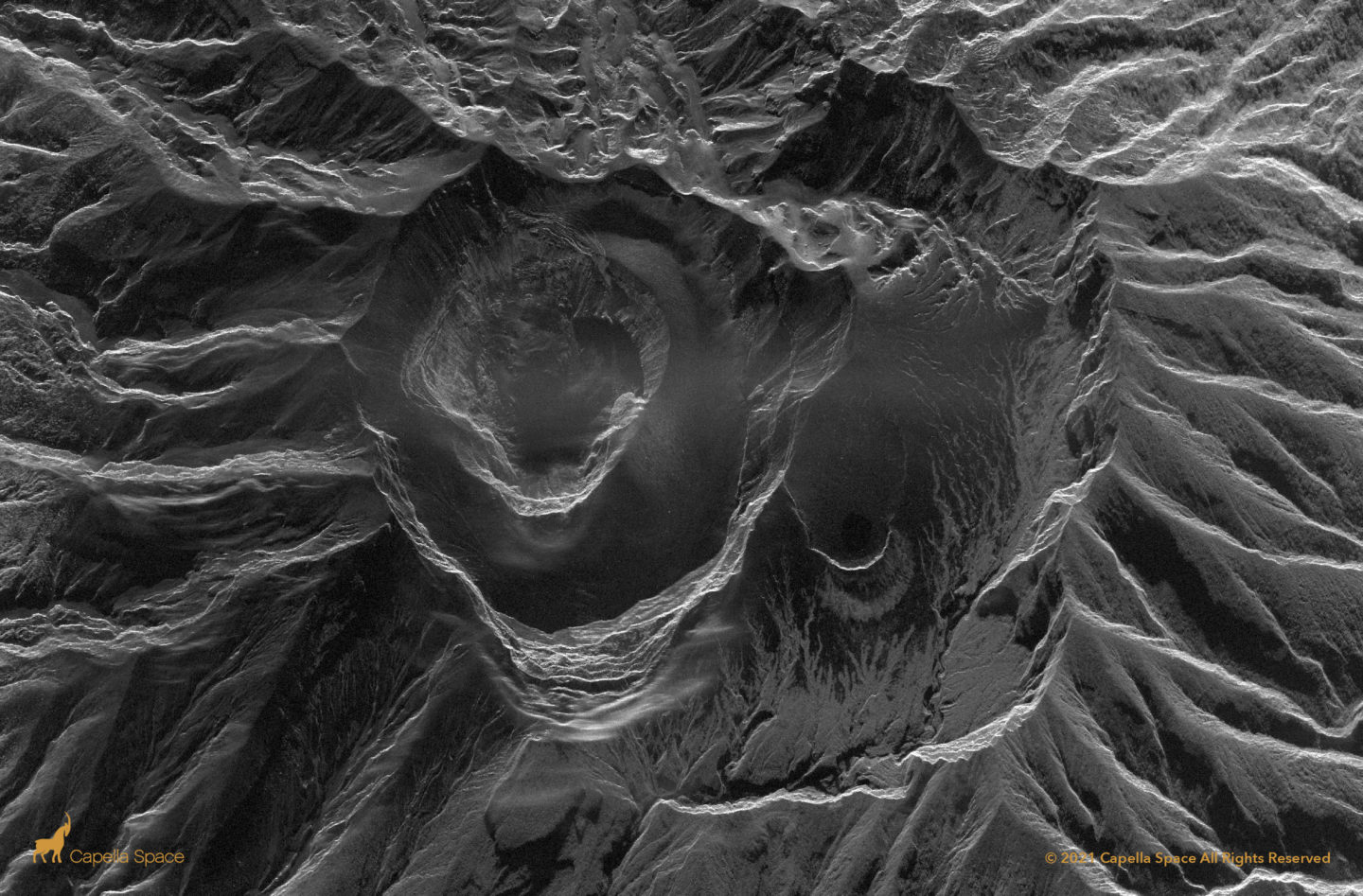
This image of La Soufrière captures an active volcanic eruption, using microwave remote sensing to detect the lava dome’s collapse through miles of volcanic smoke. SAR satellites can see through smoke and volcanic ash for 24/7 disaster response data.
2021 Fort Simpson Flood
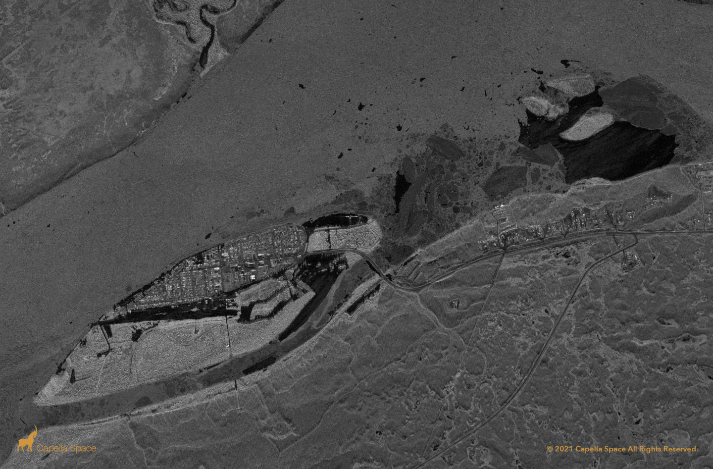
The May 10th Fort Simpson Flood in the Canadian North West Territories (NWT) displaced over 700 people. Capella’s sliding spotlight imaging mode captured the flood extent with dark areas representing areas inundated by water. Radar energy is scattered away by smooth watery surfaces indicating the flood extent.
2021 New South Wales Floods
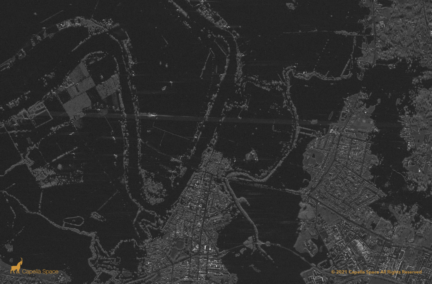
During the New South Wales 2021 Floods, Capella’s automated tasking system rapidly monitored the area to understand the flood extent over time. High resolution SAR data allows for intuitive visual interpretation of the flood extent as darker areas indicate watery surfaces where radar energy has been scattered away.
