Nate Ricklin
Blog
August 20, 2021
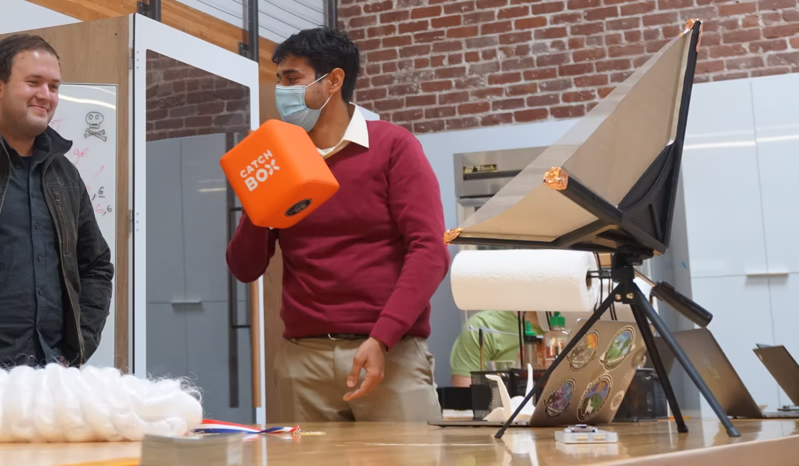
In the last week of July, Capella hosted its second annual Capella hackathon, officially called “Hackapella 2.0: Higher, Faster, and Everywhere.” Nearly 30 teams participated, and tons of creative innovations came out of the three-day event. We planned Hackapella 2.0 because our first hackathon in 2020 allowed the team to step out of their routines to imagine the possibilities of high resolution, 24/7 SAR. A few of these innovations, such as automated tasking, heatmap of imagery collections, mission awareness tools and bi-temporal change detection, became products and features that are either being used by our customers today or are being developed for future use.
Our goals with this event were to spur innovations and bring employees together for a few days of team bonding and fun. We set up several challenges for participants called “Bounties,” ranging from developing new hardware components to a taco eating competition, and also opened up the floor to allow teams to ideate on their own projects. At the end of the week, everyone had the opportunity to give five-minute demos on what they had created during Hackapella, and we voted on several winners.
Here are a few of the projects that won bounties this year:
Goats of SAR
Thomas Beyer leveraged an existing pattern matching library to mosaic together some of the thousands of SLC thumbnails in Capella’s archive. The result was an awesome composite version of the Capella logo, which won first place overall at Hackapella 2.0. Congratulations Thomas!
https://vimeo.com/586060411
Country Road Task Me Home
In this project, Kyle Cochran developed a series of API calls to develop helpful tasking feedback and recommendations. Imagine a fuzzy logic or a “you may also be interested in” feature on an e-commerce website — Cochran’s version provides similar collect recommendations for customers when they task images. For example, customers may be interested in resolution/geometry close to (but different from) what they originally requested from the Console.
ExtenSAR
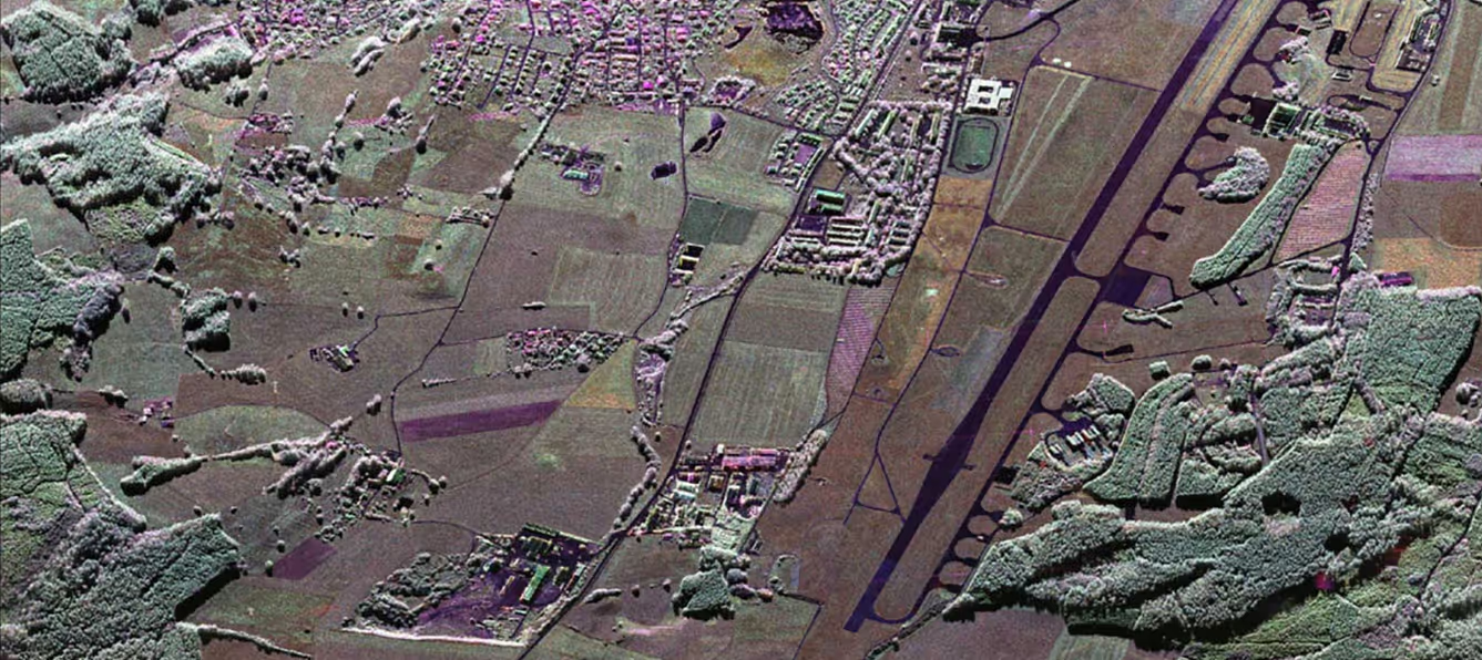
Capella’s raw radar data has far more information in it than just the images we provide. Traditionally, Capella’s SAR images have a consistently high resolution across the image. However, for this project, Craig Stringham realized that if we lower the resolution, maybe to about half of our typical image quality, we can extend the imagery by about 3km on all sides. So instead of a 5 x 20 km strip map, we could create an 11 x 26 km image. For spotlight images, we'd get an 11 x 11 km image. As you can see below, there is some reduction in SNR on the edges when you extend the imagery, but it speaks for itself showing that it's still very useful.

Above: A Stripmap image of Nantian Island in Zhejiang Province, China can be extended using partial chirps and offer a larger swath at the expense of resolution.
Better Borders with Coregistered SAR Orders
Border monitoring is a key use case for understanding patterns of life relating to tourism, bilateral trade, immigration and illicit activity. This project by Shaunak De, Mike Lapides and Mitch Burk examine at the San Ysidro border in San Diego, the largest land port of entry in the US. They used Capella’s data to look at traffic patterns correlated to US Customs and Border Protection’s wait time data. This helps to understand if algorithmically identifying and counting cars can provide an informational edge where government information is lagging or nonexistent.
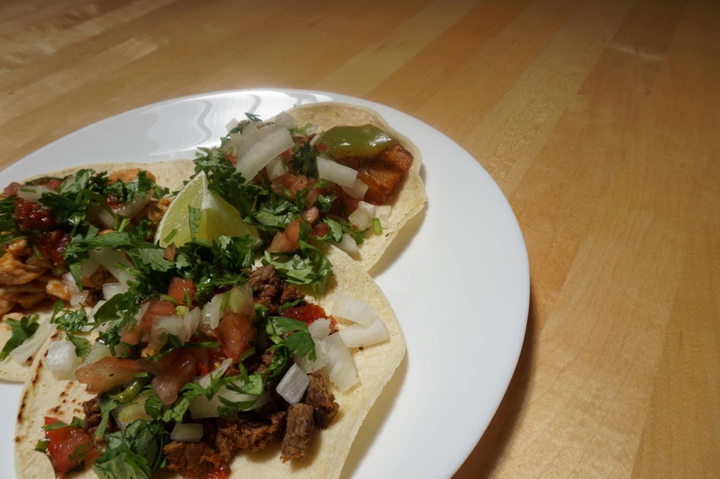
Tacos and Pullups
Of course, we can’t forget a few other winners from our non-SAR Hackapella challenges: taco-eating and pull-up contests. Eric, the taco champion ate 37 tacos and Sherwin, the pull-up contest winner did 440 pullups. We were prepared to offer a Super Bounty if one team member won both competitions.
Honorable Mentions
Digital Elevation Maps
Team “SAR Geeks Just Wanna Have Fun” created their first derived products from Capella imagery to rapidly consume and register SAR data, develop coherent change detection and interferometry to create a digital elevation map.

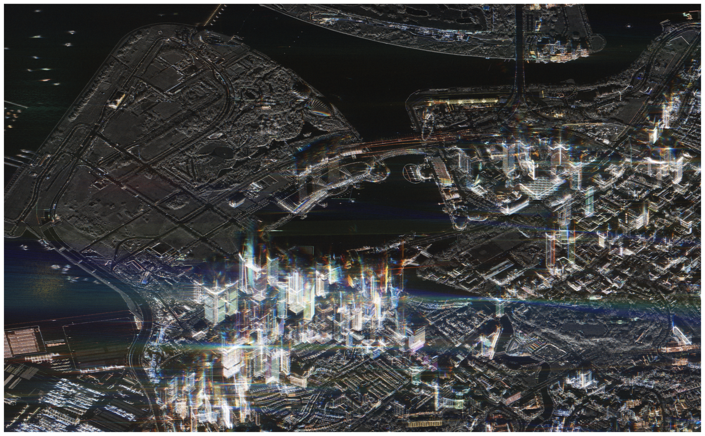
Time-Coded SAR Data of Singapore
This color-coded image represents change over time from a single very high resolution spotlight collection, visualizing minute changes in activity in Singapore throughout each of our 9 looks.
Future innovations
Hackapella 2.0 provided our team with the opportunity to ideate on the potential our technology has, and we came up with some great new ideas. If you want to help us develop the next generation of SAR innovations (and enjoy delicious tacos along the way), we're hiring!
Curious Which Of Our Analytics Partners
Can Support Your Mission?
Contact our team to explore the possibilities. Our experts can help
you determine the optimal solutions for your unique needs.

Keywords
Stay Informed. Stay Ready.
Get briefings on new capabilities, technology improvements, and upcoming events.


.avif)
