Capella Space
Product guides
June 9, 2021
It now marks the six-month point since Capella Space officially launched its commercial operations, providing customers with the market’s highest resolution SAR commercially available. Since then, we have worked with over 70 international channel partners to serve imagery to government and commercial organizations. We have grown, over multiple successful launches, from a single satellite to the first and only US SAR constellation. Our customers are leveraging that constellation through our on-demand tasking platform and we are providing imagery to meet their mission and business objectives at industry-leading speeds, 24/7, in all weather conditions.
We are pleased to announce today that Capella Space is expanding our SAR data offering to include two new data products:
- Geocoded Ellipsoid Corrected (GEC)
- Sensor Independent Complex Data (SICD)
The GEC and SICD products will be made available through the Capella Console application where our customers can browse the historical imagery archive and task our constellation to capture new collections. The GEC and SICD products will be available in addition to our existing single-look-complex (SLC) and geocoded terrain corrected (GEO) products with no additional charge.
We have compiled an overview below of these new SAR imagery data types and formats to describe these offerings in more detail and outline their value with respect to specific use cases.
Geocoded Ellipsoid Corrected (GEC)
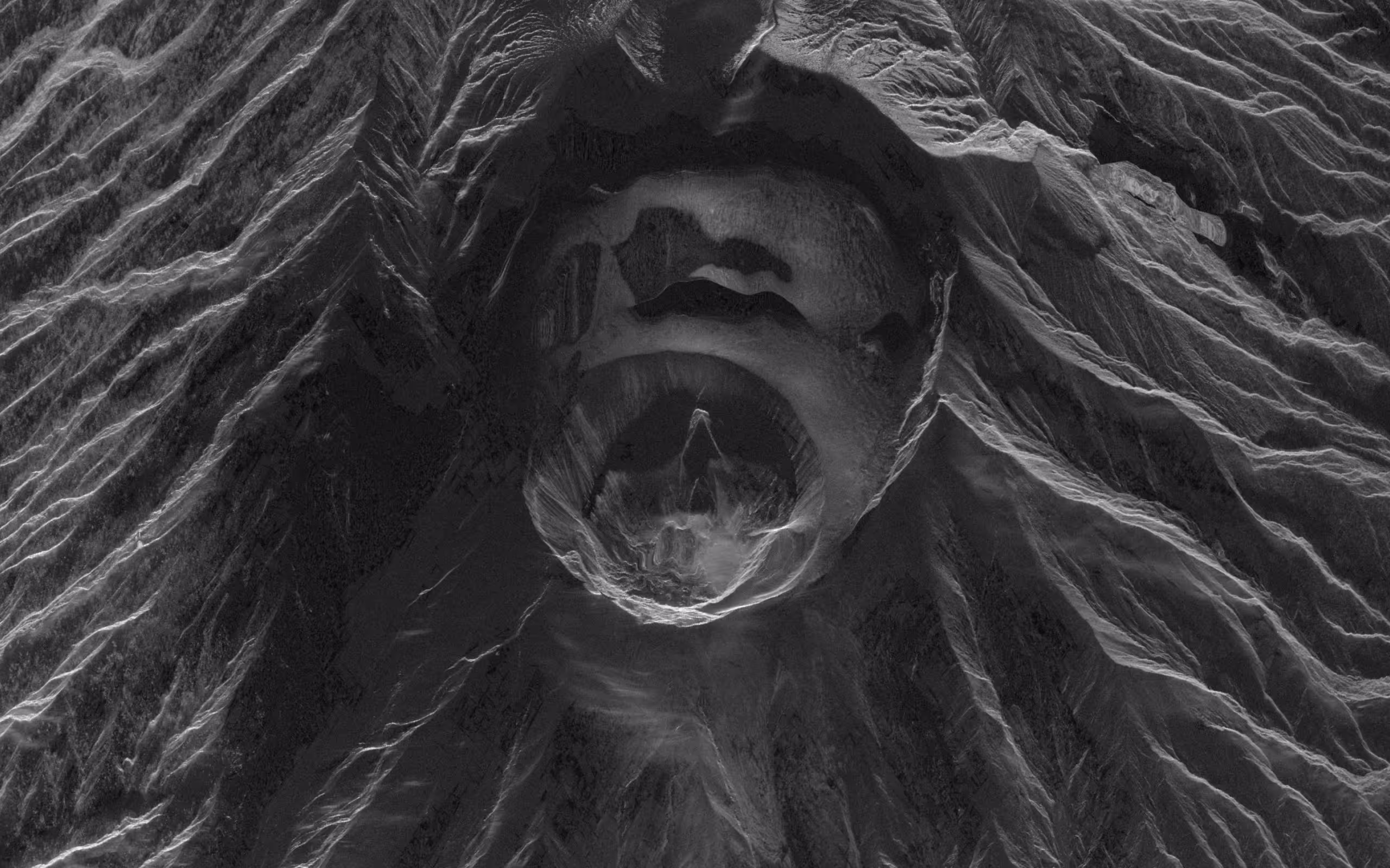
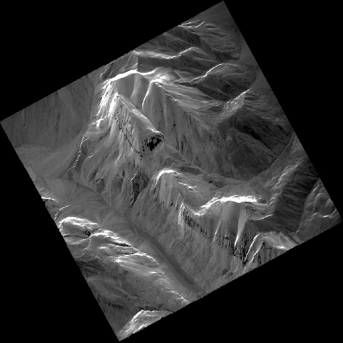
GEC is a new image product type that supplements Capella's existing SLC and GEO image product types. The GEC image product type is a detected multi-looked dataset that has been geocoded and projected onto the WGS84 ellipsoid. With Capella's advanced multi-looking techniques, GEC images provide unmatched image clarity, spatial resolution and low noise.
The average scene center height is used to generate the GEC image product type and no terrain correction is performed. Consequently, GEC images are ideally suited for users who wish to analyze imagery over areas with significant topographic relief without any digital elevation model (DEM) correction effects. Since the ellipsoid projection does not use height information from a DEM, the geolocation accuracy varies depending on the relief of the local topography. For relatively flat terrain, excellent geolocation accuracy is still achieved, making GEC images ideally suited for visual literal image interpretation, multi-temporal analysis and GIS mapping applications.
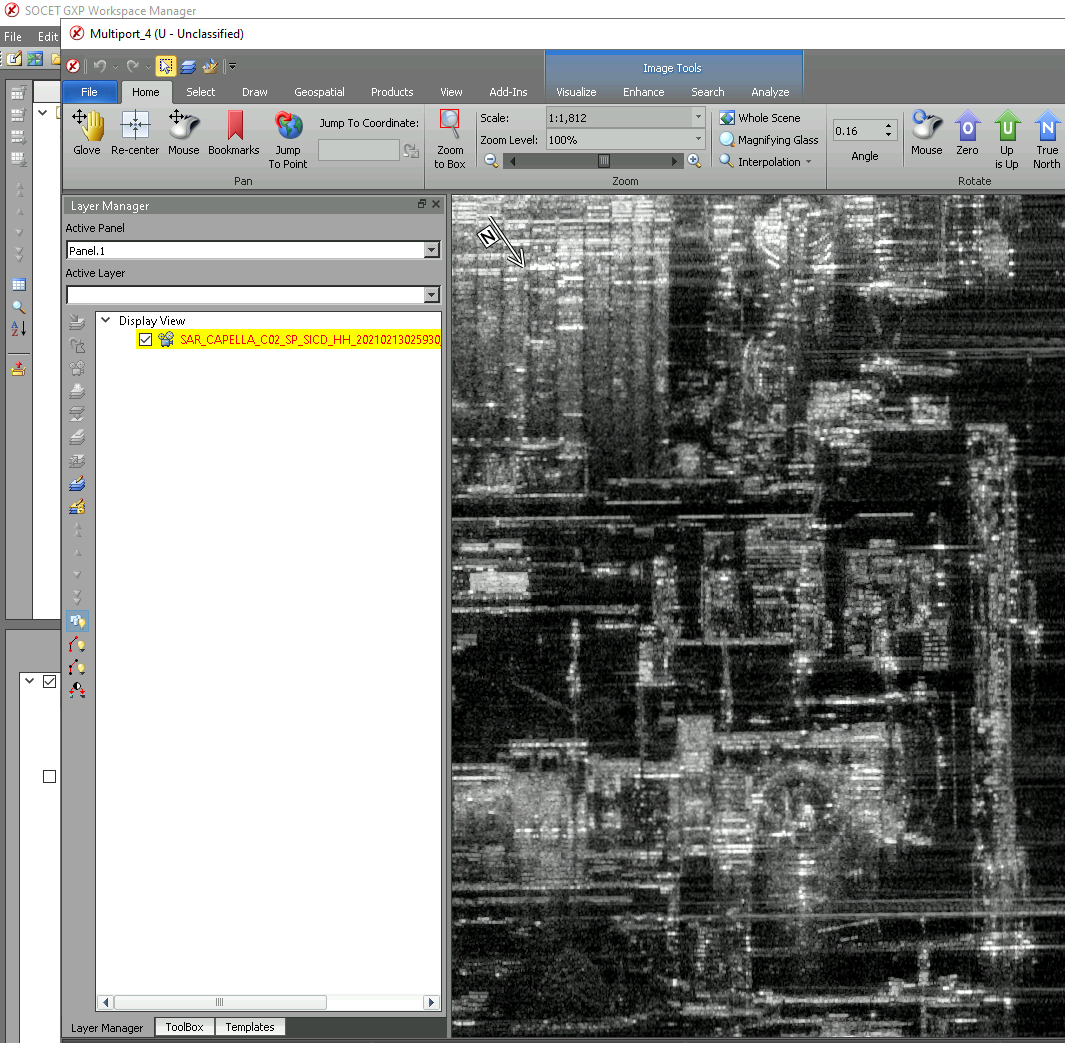
Sensor Independent Complex Data (SICD)
SICD is a new product delivery format for SLC image product type data in addition to Capella's existing TIFF+JSON format. SICD is a U.S. national geospatial-intelligence (GEOINT) standard designed for the storage and dissemination of SAR SLC image data in a sensor-independent manner. The SICD standard is designed specifically for SAR SLC image data and relevant metadata stored in the well-established National Imagery Transmission Format (NITF) file format.
Capella's SICD format complex image products are compliant with version 1.2.1 of the SICD standard published on 13 December 2018 (NGA.STND.0024-1_1.2.1). The SICD standard leverages the NITF 2.1 container format with customized raster segments and metadata tags specifically designed for the storage of SAR complex image products. Consequently, our SICD images are well suited for image analysts and data scientists using desktop ELT software applications such as SOCET GXP and advanced SAR processing software such as SARscape.
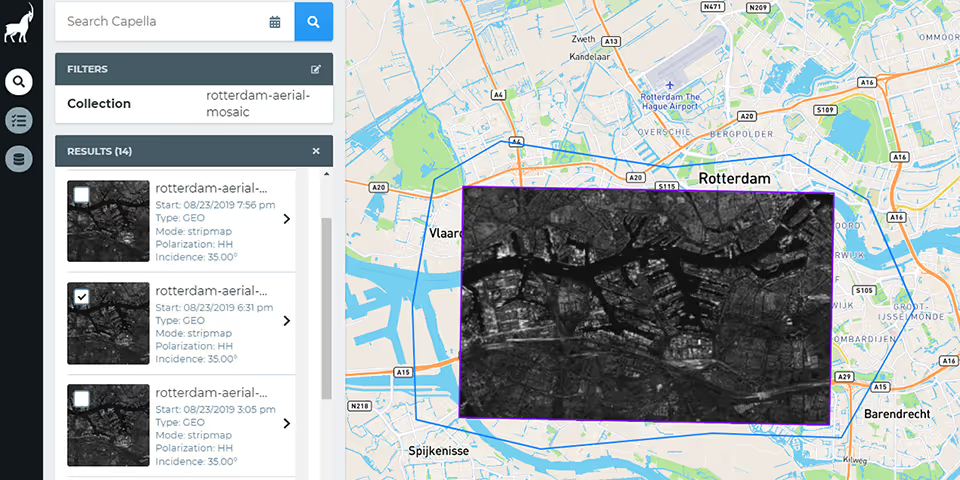
Available Directly in the Capella Console
To access the new GEC and SICD products, simply select an archive or tasked image directly in the Capella Console with your subscription login. We have processed our historical imagery so that all four Capella SAR data products (SLC, GEO, GEC and SICD) are available on-demand from archive or tasked imagery.
Capella Space will continue to make our existing SLC and GEO products available to customers, as each of our product types has specific advantages in meeting our customers’ information needs depending on their specific use case. Our SLC data product is advantageous in that it retains the original phase and amplitude data from each collection and our GEO data product is a multi-looked product that optimizes for geolocation accuracy.
To learn more about our SAR data products please visit: https://www.capellaspace.com/data/sar-imagery-products/
Curious Which Of Our Analytics Partners
Can Support Your Mission?
Contact our team to explore the possibilities. Our experts can help
you determine the optimal solutions for your unique needs.

Keywords

Stay Informed. Stay Ready.
Get briefings on new capabilities, technology improvements, and upcoming events.


.avif)
