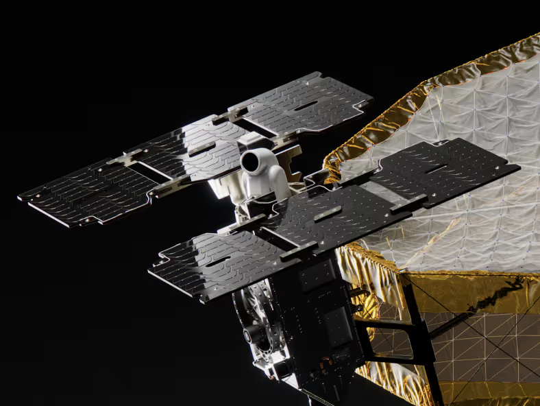
Next-Gen Satellite Sensor Technology
Capella's in-house radar and RF sensing technology enables 0.25 m resolution imagery and 600 MHz of signal bandwidth. We deliver mission-critical data that enables faster and more precise decision making.
.avif)
Proven Capabilities. Immediate Value.
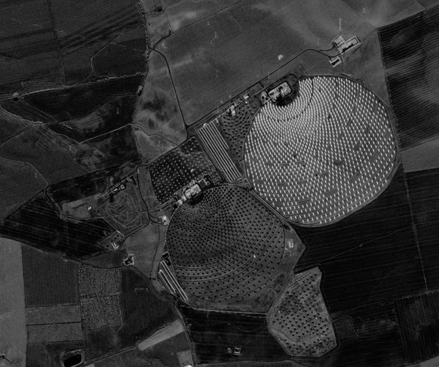
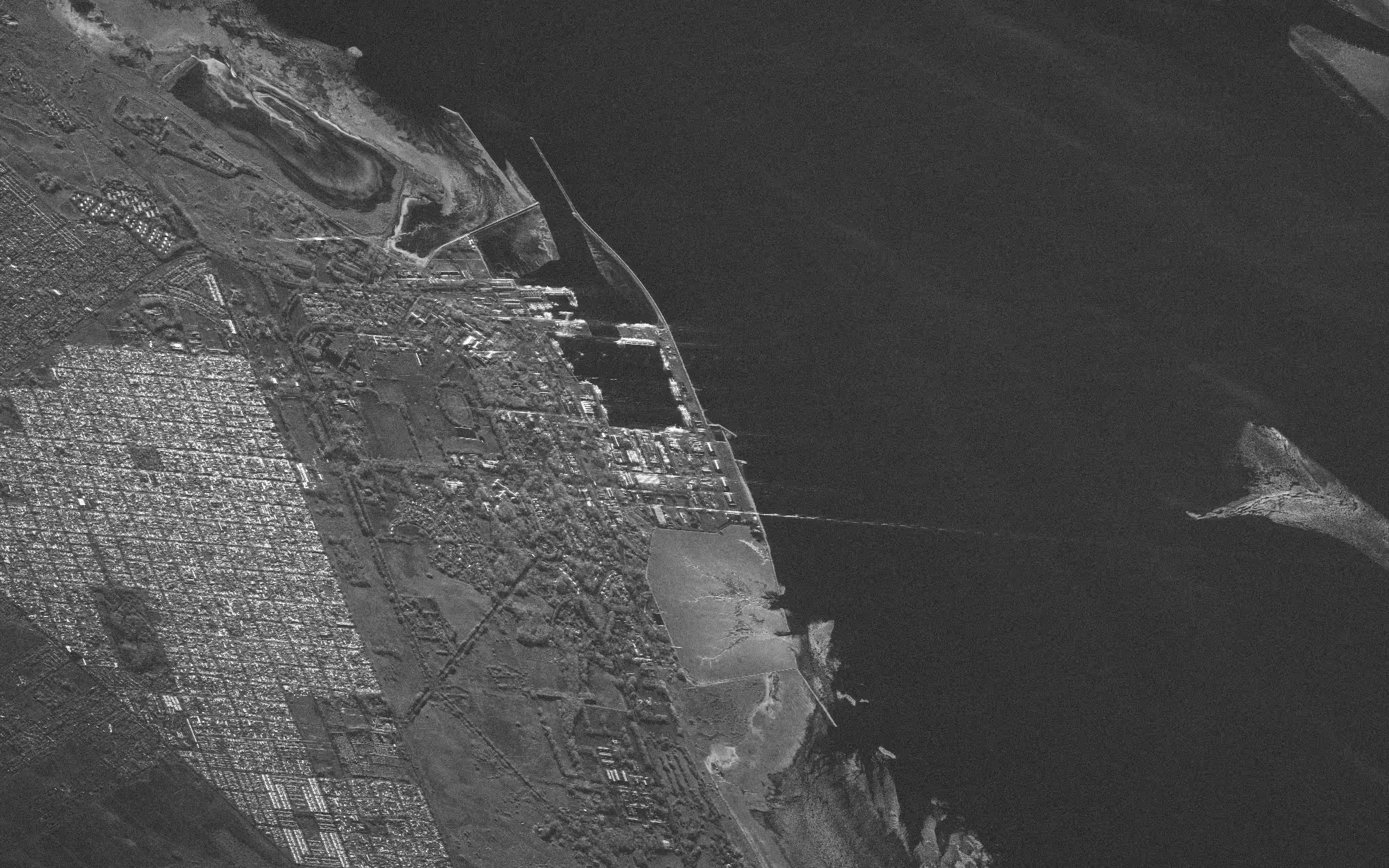
HIGH-CAPACITY RADAR IMAGERY
More Intelligence Per Image
X-band SAR operating at 9.3–9.9 GHz with up to 600 MHz imaging bandwidth enables high resolution SAR imagery. Plus, we provide operational flexibility across diverse mission requirements and geometric constraints.

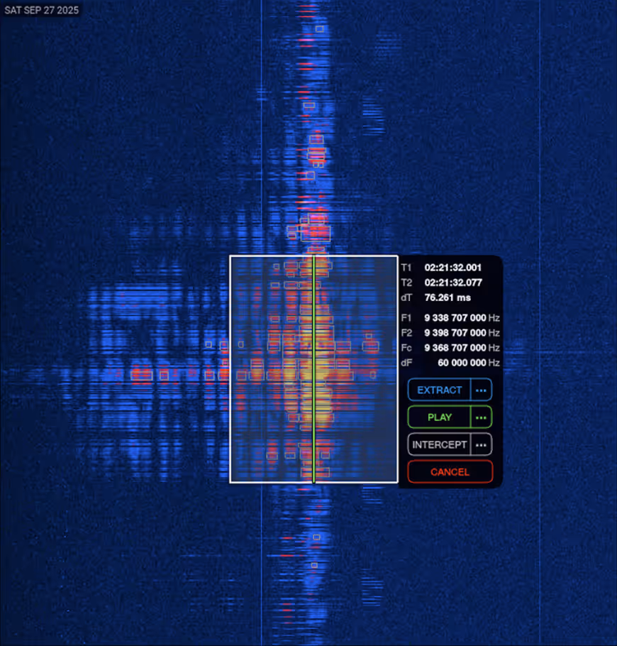
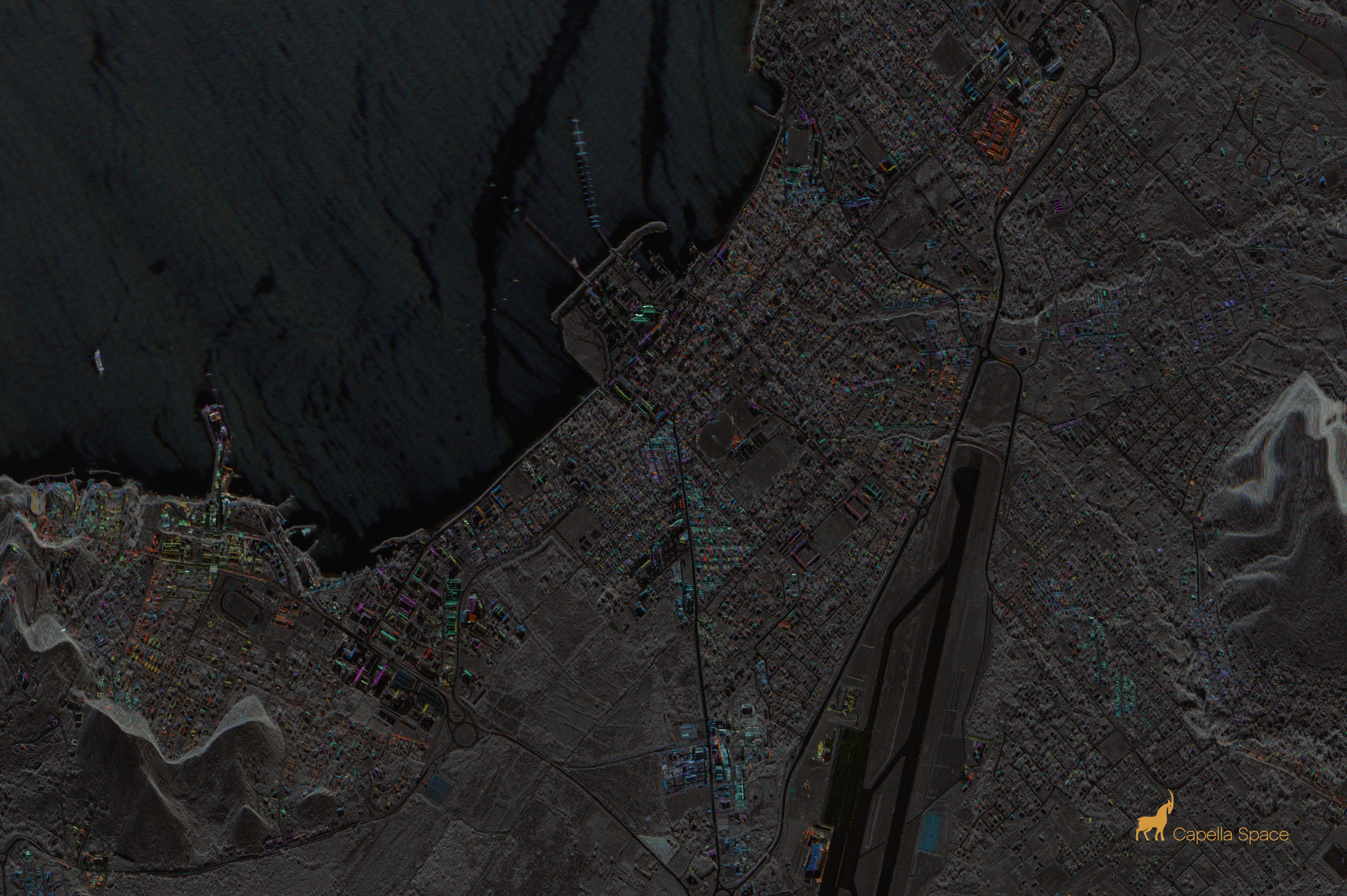
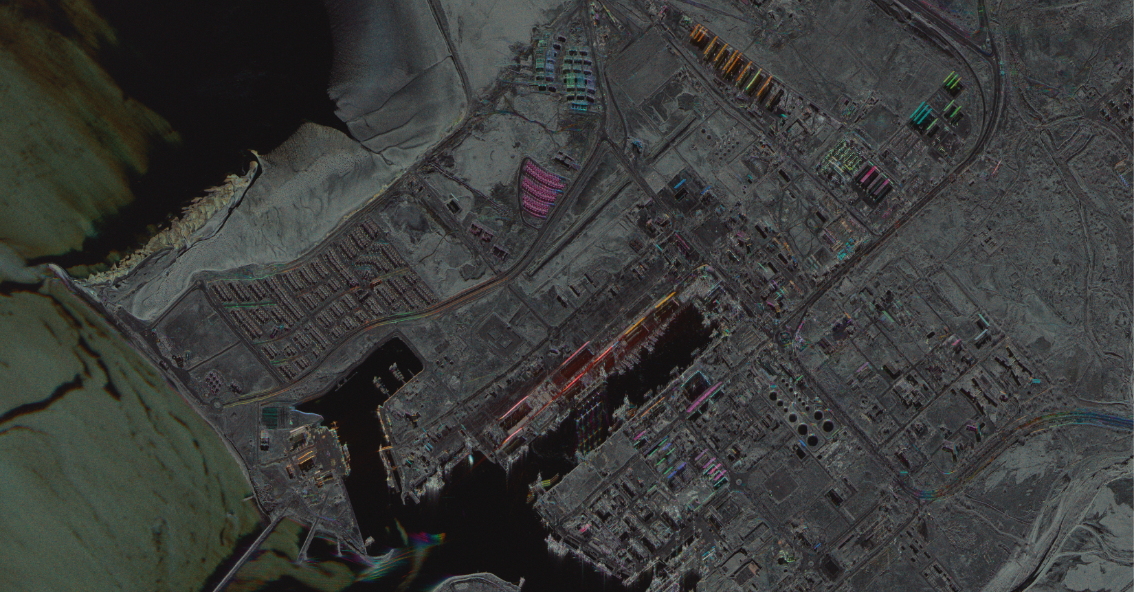
Multimodal sensors
Compact Design, Maximum Performance
In-house designed radar and RF sensors, high-gain antennas, and power systems work together to deliver extended duty cycles and superior dwell time. AI-ready, rich datasets support decision-making enabling signal classification to uncover patterns and power your operations.
HOW IT WORKS?
Integrated Sensor Architecture For Continuous Intelligence Collection
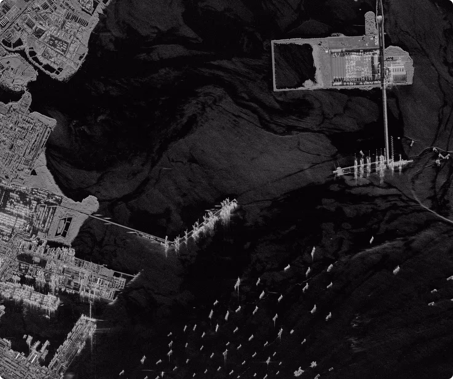
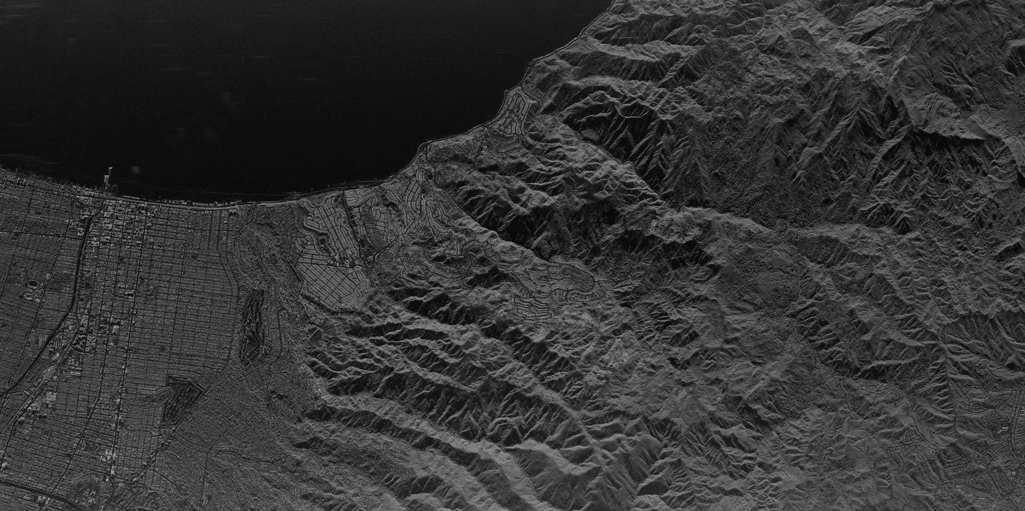
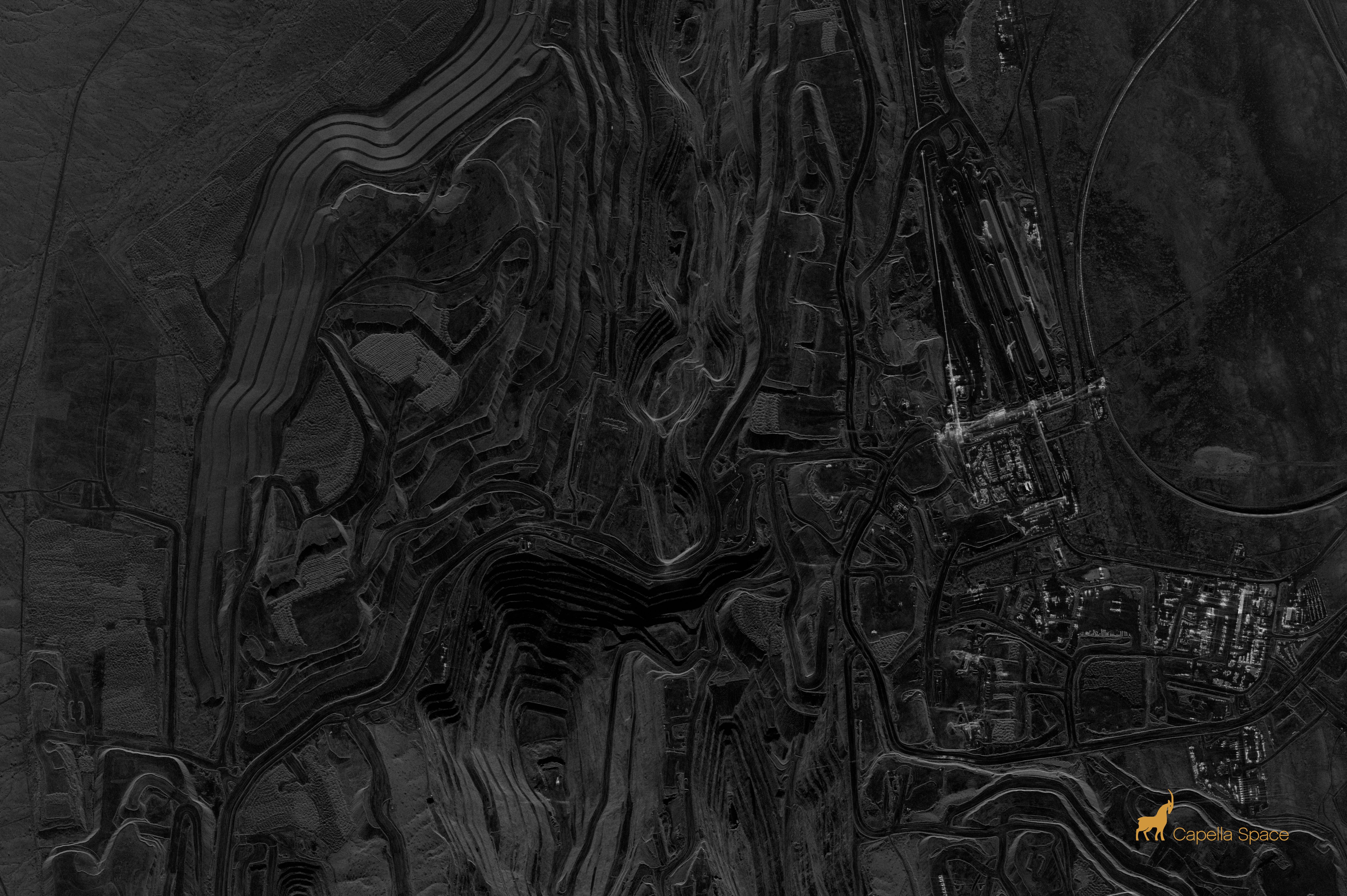
High Resolution SAR Imaging
X-band radar emits pulses of microwave radiation at thousands of pulses per second. The radar receiver measures time, strength, and phase characteristics of pulse echoes to generate high-resolution two-dimensional images through clouds and darkness as well as RF signals.

High-Capacity Power & Thermal Management
Enhanced power and thermal management capabilities supports extended duty cycle capabilities. This means substantially higher per-pass collection capacity for comprehensive area coverage.
Encrypted Data Downlink & Handling
Collected imagery from our sensors are encrypted on-board and transmitted to ground stations with dual circular polarization. Data travels to Capella's AWS GovCloud instance for decryption and automated processing into multiple product formats for delivery.

Automated Mission Execution
Mission commands are generated, encrypted, and transmitted to satellites for execution without a human-in-the-loop. The flight computer decrypts and authenticates commands before executing collection schedules with minimal latency for automated intelligence gathering.

INDUSTRIES
Mission-Ready Intelligence
Reliable Synthetic Aperture Radar (SAR) data supporting decisions across missions, industries, and environments — built for real-world operations.
.avif)
Defense & Intelligence
Maritime Awareness
Disaster Response
Recommended Resources

Capella Launches Taskable InSAR for Automated, Millimeter-Scale Earth Monitoring
.png)
Signal in the Sand: How SAR Supports Search and Rescue When Every Hour Counts
.png)
Monitoring Coastlines with SAR for Smarter Maritime Awareness
Unlocking Potential with High-Resolution SAR Satellite Imagery
Innovative Applications Of Synthetic Aperture Radar Technology
Full-resolution SLC Imagery: Revolutionizing Commercial SAR Data
Capella Space R&D Team Demonstrates Bistatic Collect Capability
Latest Insights And News
Capella Space Debuts InSAR Sat Service For Surface Monitoring


FAQ
Ask us anything
What Imaging Modes Does Capella Support?
Capella satellites support Spotlight (including Spotlight Ultra), Sliding Spotlight, Stripmap, and Parallel Stripmap imaging modes.
How Does Capella's Tasking System Work?
Capella's scheduler runs every 20 minutes and processes new acquisition tasking requests for a rolling one-week-out scheduling window. Users submit their desired imaging parameters through Console or API, receive cost review and approval notifications, then tasks enter the queue. Once the window open date is within the one-week scheduling horizon, the system automatically plans, schedules, collects, and delivers imagery based on collection tier priority (Urgent, Priority, Standard, Flexible, or Routine for repeats).
What Resolution And Image Quality Can Acadia Achieve?
Acadia delivers resolution ranging from 0.25 m to 1.2 m azimuth resolution depending on imaging mode. Spotlight Ultra achieves 0.25 m azimuth with 0.25/0.3 m slant range resolution. The system uses single-polarization (HH or VV) X-band SAR with look angles from 15° to 50° and grazing angles from 73.5° to 33°. Multi-look processing (1-5 looks depending on mode) reduces speckle while maintaining spatial resolution.
What Data Formats And Products Are Available?
Capella provides Single Look Complex (SLC), Geocoded Ellipsoid Corrected (GEO), Geocoded Terrain Corrected (GEC), SICD, SIDD, CPHD, and Colorized Sub-aperture Imaging (CSI) products. All products can support machine learning and AI analytics development with STAC-compliant metadata for seamless integration into existing workflows and GIS platforms.
How Does Extended Imaging Capacity Work?
Acadia's 10 minutes of continuous imaging per orbit is enabled by larger batteries, enhanced solar arrays, and improved thermal management. The 600 MHz radar bandwidth combined with extended dwell times delivers more collection capacity per pass.
Can Acadia Support Persistent Monitoring?
Yes. Repeat tasking allows automated monitoring of any point target with user-defined repeat cycles (daily, weekly, custom intervals). The system can automatically plan, schedule, and deliver collections with optional geometrically similar parameters. Multi-orbit constellation (sun-synchronous and mid-inclination) enables multiple collection opportunities per day across global latitudes.
Haven’t Found What You Needed?
Our expert team is here to support your mission and help you get the insights you need.
.avif)
.avif)
Precision Meets Performance
Explore Capella’s advanced sensor technology and unlock high-resolution, mission-ready data.
