
Earth Intelligence for Critical Operations
Capella's all-weather SAR satellites deliver persistent imagery through storms, smoke, and darkness. Whether you're responding to a crisis or monitoring a changing environment, from flood mapping and damage assessment to land and deforestation monitoring, get the intelligence you need when it matters most.
When Every Second Counts, Respond with Confidence
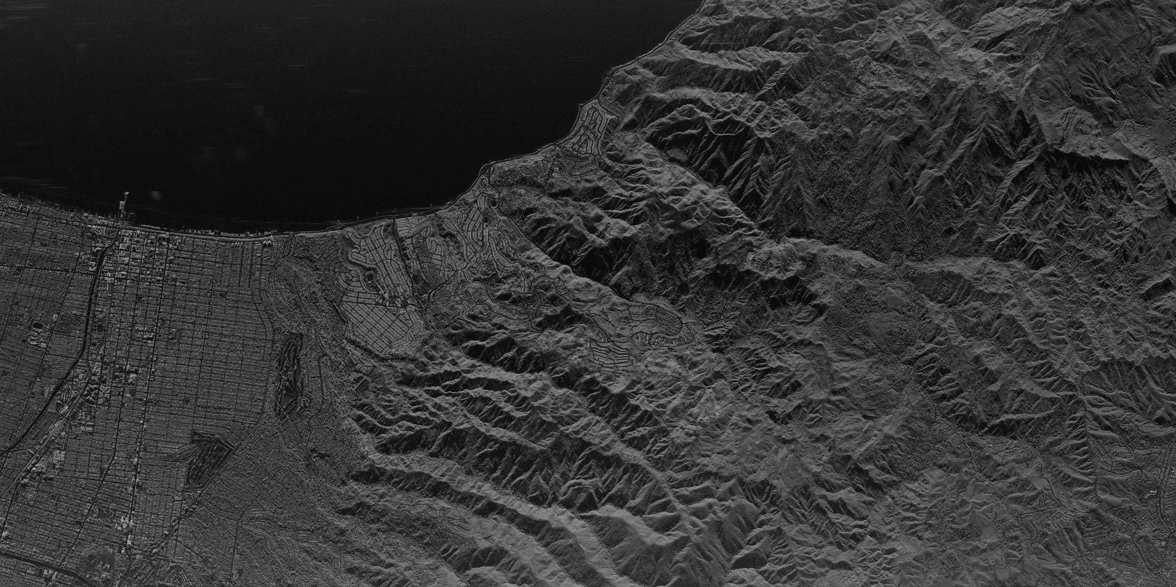
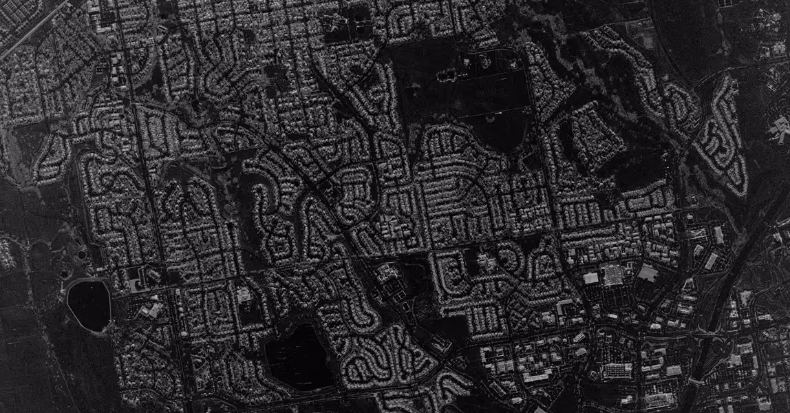
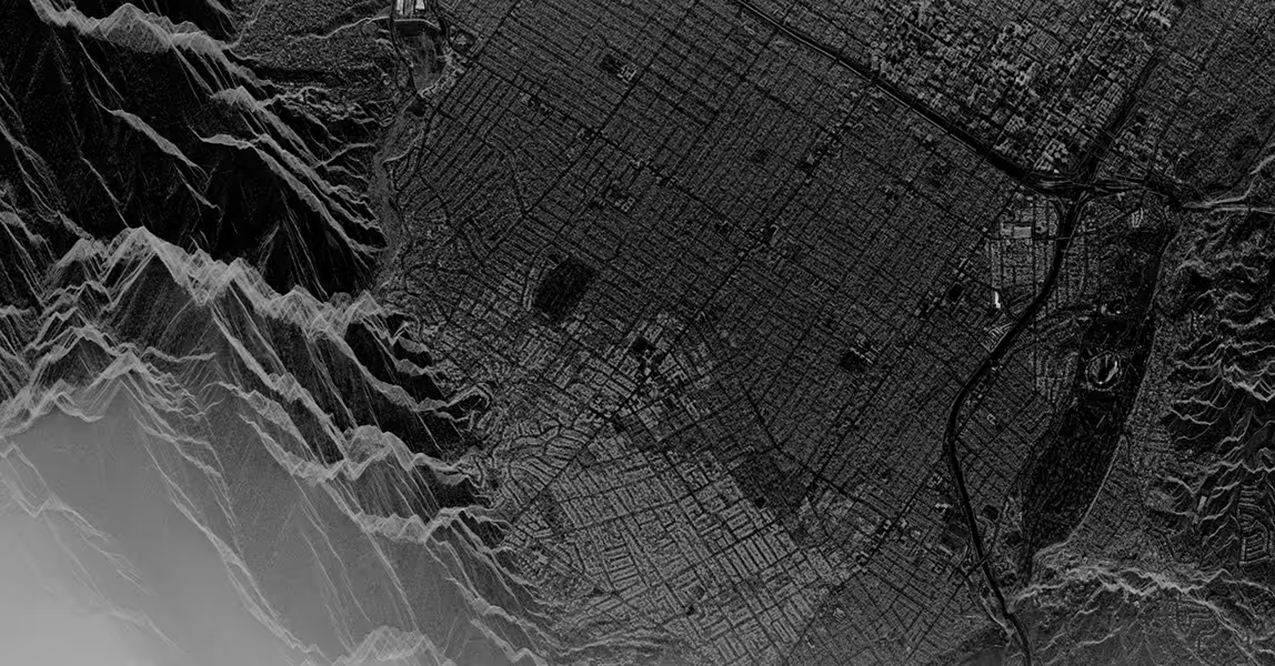
Map Disaster Impact Through Contested Conditions
Monitor disaster extent through storm clouds, smoke, and darkness. All-weather SAR delivers repeatable collections so responders have intelligence before, during, and after devastating events.
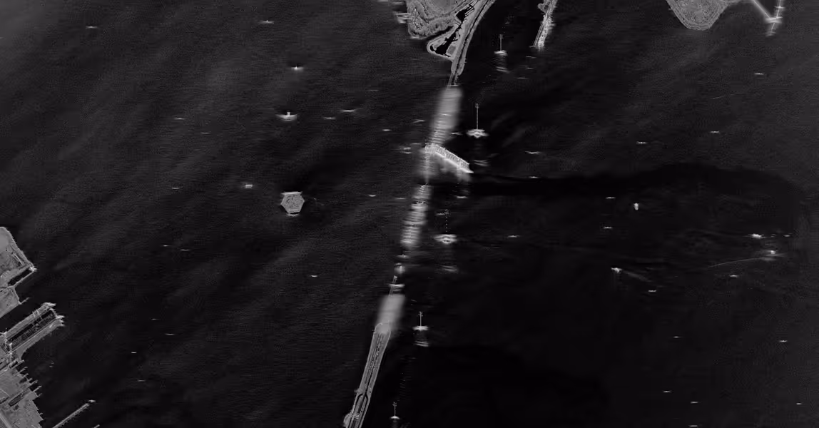
Reliable Search & Rescue Operations
Detect vehicles, shelters, and signs of life in remote or obscured terrain — through sandstorms, fog, or total darkness. Capella's CSI mode highlights objects and enables confirmation analysis in contested conditions.
Track Impact Before, During, and After
Assess damage and environmental degradation with repeatable collections across the event lifecycle. Document progress and monitor long-term changes to land, water, and ecosystems that persist long after the crisis ends.
Disaster Response & Environmental Monitoring Solutions
Our all-weather imaging and rapid tasking give emergency responders and environmental analysts a persistent view of the Earth — before, during, and after critical events and long-term environmental change.
All-Weather Intelligence for Emergency Operations
Persistent high-resolution imagery through clouds, smoke, and darkness with rapid revisit capabilities for time-critical disaster monitoring.
- Rapid collection requests can deliver imagery within hours to support emergency response and critical decisions
- Advanced imagery modes like CSI enhance detection of water boundaries, displaced infrastructure, and signs of life in contested conditions
- Proven across real-world events including the 2022 Brisbane floods, 2024 helicopter crash search operations, and wildfire response globally

Learn more about Capella SAR data
.avif)
.avif)
SAR Data for Earth Science and Disaster Research
Capella is a trusted vendor in NASA's Commercial SmallSat Data Acquisition (CSDA) program, providing high-resolution SAR imagery to advance Earth science research and disaster monitoring capabilities.
- CSDA-approved access provides government researchers with high-resolution SAR data for disaster response research, flood monitoring, and Earth science applications
- Multi-year contracts enable sustained research into SAR applications for disaster preparedness, environmental monitoring, and climate change impact assessment across NASA's Earth Science Division
- Unified archive and live tasking access allows responders to compare baseline imagery with post-event collections to assess damage and guide recovery
- Evaluated and validated data quality ensures Capella's SAR products meet NASA's scientific standards for radiometric and geometric accuracy, supporting reproducible research
.avif)
Access through the Commercial Satellite Data Acquisition Program
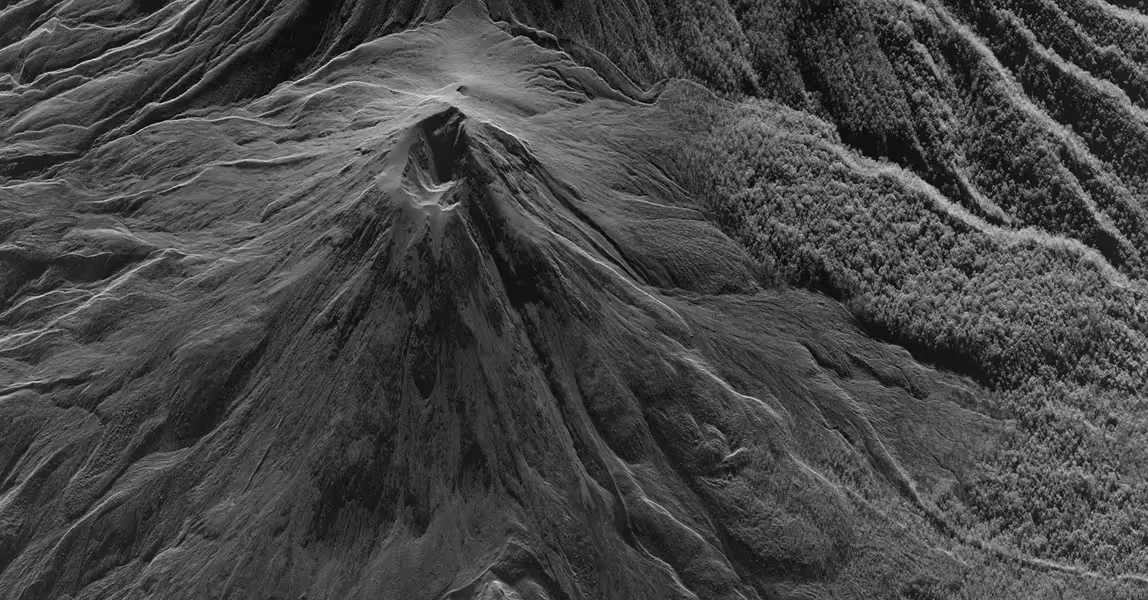
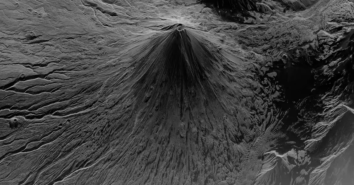
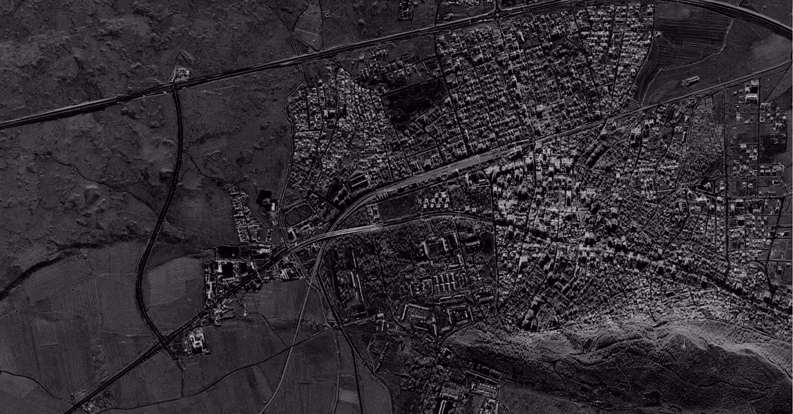
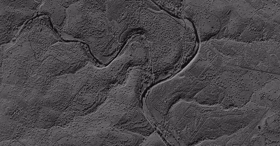
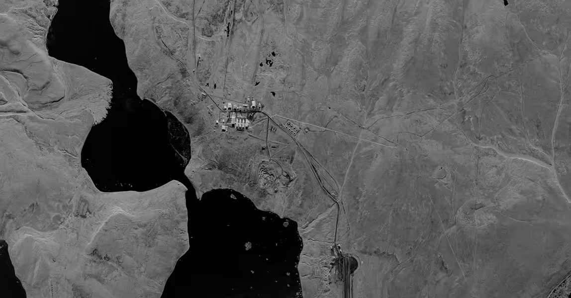
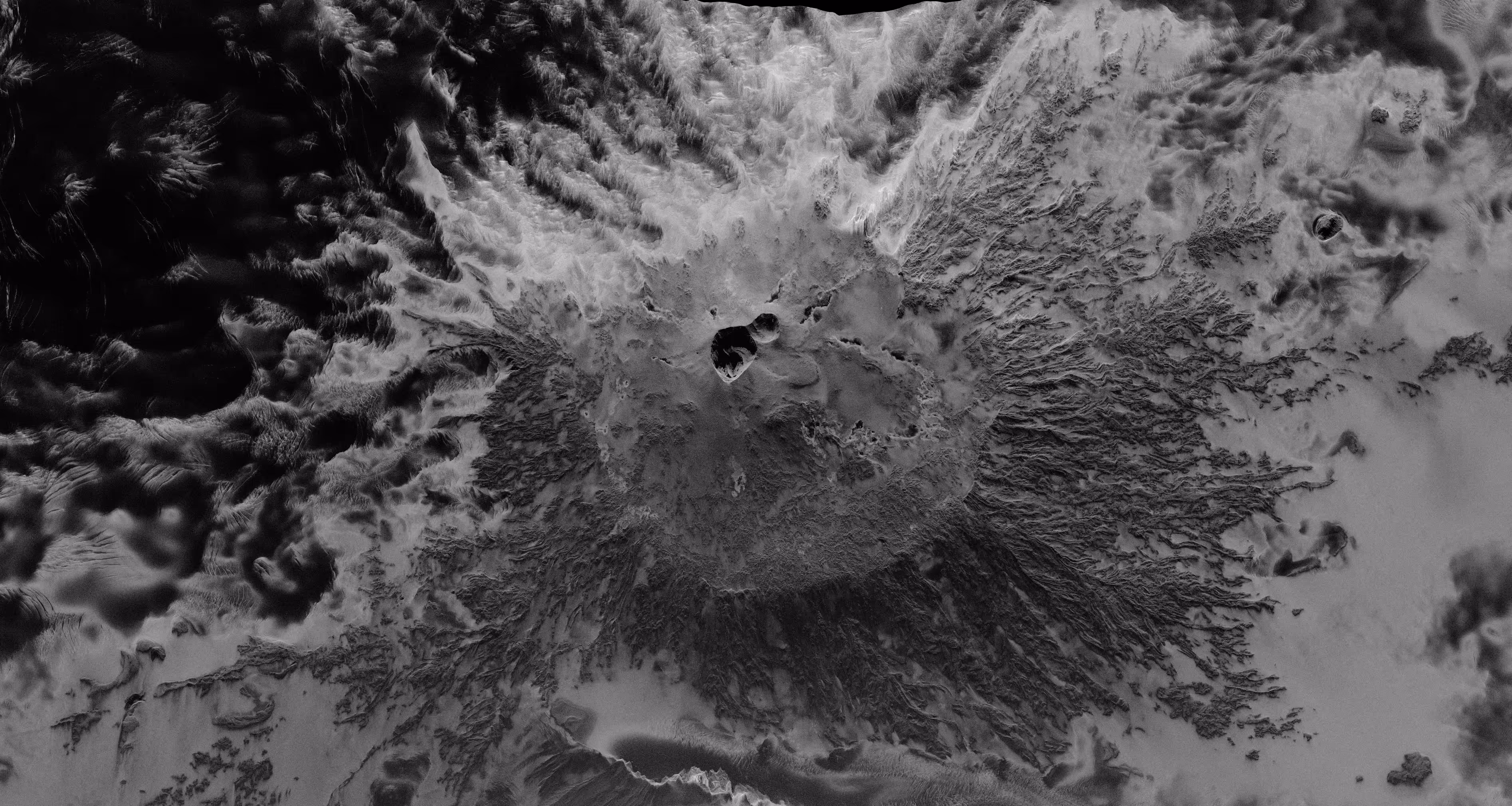
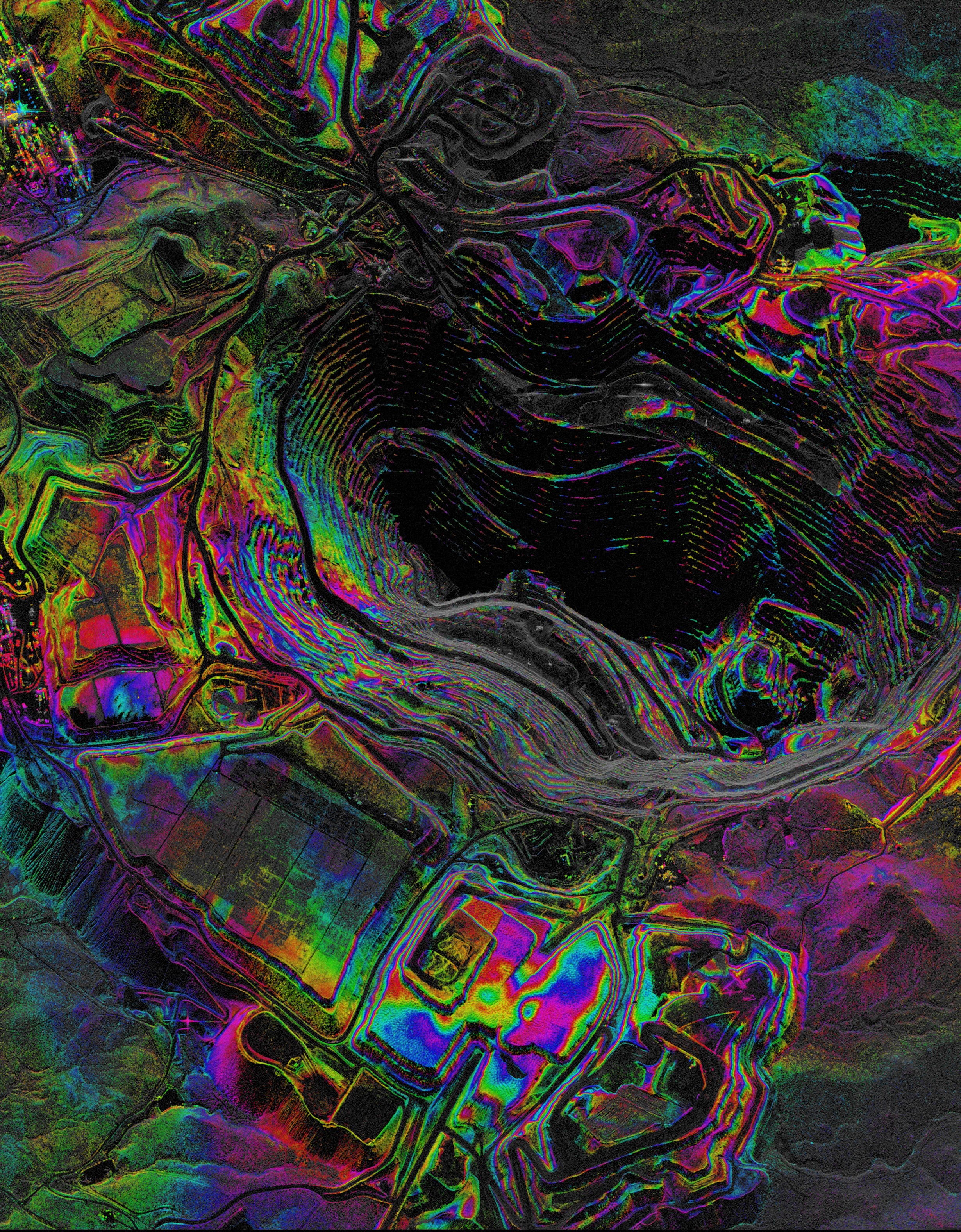
Long-Term Environmental Monitoring
Reducing the impact of a disaster starts long before one occurs. Capella's SAR monitoring tracks change across forests, terrain, volcanoes, and ice sheets with millimeter precision — building the baseline that makes rapid response possible.
- Detect deforestation, land cover change, and vegetation loss across remote areas with persistent repeat collections
- Track millimeter-level ground movement, terrain deformation, and slope instability through any weather condition
- Integrate seamlessly with analytics and modeling ecosystems to support trend analysis
Learn more about Capella SAR data
Mission-Ready Advantages
Latest Insights And News
Capella Space Debuts InSAR Sat Service For Surface Monitoring


FAQ
Ask us anything
What Imaging Modes Does Capella Support?
Capella satellites support Spotlight (including Spotlight Ultra), Sliding Spotlight, Stripmap, and Parallel Stripmap imaging modes.
How Does Capella's Tasking System Work?
Capella's scheduler runs every 15 minutes and processes new acquisition tasking requests for a rolling one-week-out scheduling window. Users submit their desired imaging parameters through Console or API, receive cost review and approval notifications, then tasks enter the queue. Once the window open date is within the one-week scheduling horizon, the system automatically plans, schedules, collects, and delivers imagery based on collection tier priority (Urgent, Priority, Standard, Flexible, or Routine for repeats).
What Resolution And Image Quality Can Acadia Achieve?
Acadia delivers resolution ranging from 0.25 m to 1.2 m azimuth resolution depending on imaging mode. Spotlight Ultra achieves 0.25 m azimuth with 0.25/0.3 m slant range resolution. The system uses single-polarization (HH or VV) X-band SAR with look angles from 15° to 50° and grazing angles from 73.5° to 33°. Multi-look processing (1-5 looks depending on mode) reduces speckle while maintaining spatial resolution.
What Data Formats And Products Are Available?
Capella provides Single Look Complex (SLC), Geocoded Ellipsoid Corrected (GEO), Geocoded Terrain Corrected (GEC), SICD, SIDD, CPHD, and Colorized Sub-aperture Imaging (CSI) products. All products can support machine learning and AI analytics development with STAC-compliant metadata for seamless integration into existing workflows and GIS platforms.
How Does Extended Imaging Capacity Work?
Acadia's 10 minutes of continuous imaging per orbit is enabled by larger batteries, enhanced solar arrays, and improved thermal management. The 600 MHz radar bandwidth combined with extended dwell times delivers more collection capacity per pass.
Can Acadia Support Persistent Monitoring?
Yes. Repeat tasking allows automated monitoring of any point target with user-defined repeat cycles (daily, weekly, custom intervals). The system can automatically plan, schedule, and deliver collections with optional geometrically similar parameters. Multi-orbit constellation (sun-synchronous and mid-inclination) enables multiple collection opportunities per day across global latitudes.
Haven’t Found What You Needed?
Our expert team is here to support your mission and help you get the insights you need.
.avif)
.avif)
Harness Actionable Intelligence
Obtain rapid, all-weather Earth intelligence to support preparedness, response, and recovery when conditions are most unpredictable.
