Back to News
news
TCarta and Capella Space Partner to Leverage All-weather SAR Imagery for Coastline Management
Cappela Space
News
February 13, 2024
TCarta to use Capella Space’s 24/7, sub-daily synthetic aperture radar (SAR) imagery for detailed hydrospatial analysis
SAN FRANCISCO, CA, Feb 13, 2024 – Capella Space Corp., an American space tech company with data and satellite solutions for government and commercial applications, today announced a partnership with TCarta, a global provider of hydrospatial products and services, to add high-resolution SAR satellite imagery to TCarta’s coastal monitoring and shoreline feature extraction solutions. This partnership will enable more consistent and reliable identification of coastline changes so coastal managers have the accurate and up-to-date information for mitigating the impacts of climate change.
Rising oceans and melting glaciers are quickly changing the geography of the world’s coastlines, reshaping ecosystems and threatening the livelihoods of coastal communities. This is especially prevalent in the Arctic with melting permafrost and sea ice. Understanding the rates and causes of shoreline change can help coastal managers better understand how to mitigate the hazards to local communities and their ocean economies. Reliably mapping coastal features and measuring shoreline change with traditional earth observation technologies can be difficult when having to consider variable conditions like changing tides, darkness and cloud cover. These factors are very persistent in coastal regions and at higher latitudes. TCarta’s innovative technology overcomes these challenges by leveraging Capella’s automated satellite tasking system to synchronize SAR imagery collections to precisely match up with real time tidal fluctuations with minute-based accuracy.
TCarta was as an early adopter of the Capella Space Analytics Partner Program looking to accelerate its research and development efforts with high-resolution SAR to enhance its state-of-the-art hydrospatial models. TCarta is now a Certified Analytics Partner, unlocking a wide range of exclusive benefits for the company which include opportunities for both product and market collaboration and continued access to Capella’s rich imagery archive.
"Being an early adopter of the Capella Space Analytics Partner Program just makes sense for TCarta's mission to apply space-based technologies to enhance human understanding of and planning for climate change impacts,” says TCarta founder and President, Kyle Goodrich. “The implementation of Capella SAR in TCarta's coastal datasets means more accurate and actionable information in the hands of our clients.”
“TCarta is a team with unmatched expertise in remote sensing and hydrospatial analysis. We are thrilled to elevate our partnership so coastline managers can leverage the full value of 24/7, all-weather SAR imagery and automated tasking to help mitigate the impacts of climate change,” said Dan Getman, Vice President of Product at Capella Space.
About TCarta
With offices in the United States, Jamaica, and Canada, TCarta has built an international business on cost-effectively and safely deriving onshore and offshore data sets using multispectral imagery captured by Earth observation satellites – without negative impact on the natural habitat. TCarta products and services are relied upon by governmental, insurance, oil & gas, environmental, and infrastructure development clients in applications as diverse as natural resource monitoring, tsunami modeling, disaster & hazard response, and hydrologic studies.The TCarta product lines include high-resolution satellite-derived water depth and seafloor map products as well as 90- and 30-meter GIS-ready bathymetric data aggregated from numerous information sources. TCarta has also recently unveiled the use of ICESat-2 LiDAR data sets for use in SDB validation, and the TCarta Global Satellite Derived Bathymetry (G-SDB) off-the-shelf products. G-SDB is generated with Machine Learning and ICESat-2 laser data at 10m resolution to depths of 30m depending on water clarity.Learn more at https://tcarta.com/
About Capella Space
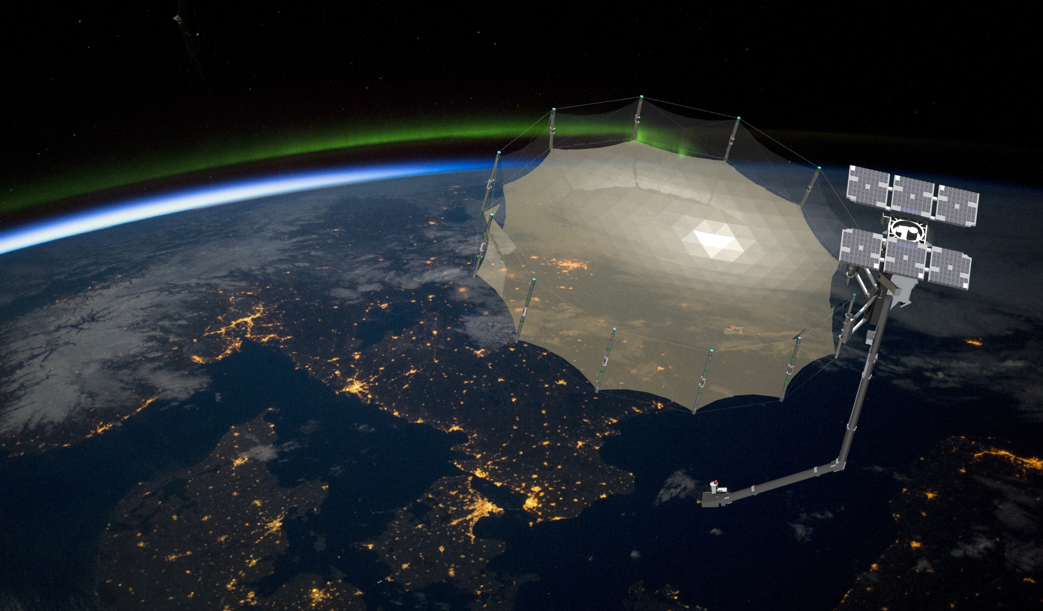
Capella Space is an American space tech company with data and satellite solutions for government and commercial use. A pioneer in the Earth observation industry, Capella is the first U.S. company with a constellation of Synthetic Aperture Radar (SAR) satellites, delivering high quality, high resolution SAR imagery. Capella provides easy access to frequent and timely information affecting dozens of industries worldwide, including defense and intelligence, supply chain, insurance, maritime and others. Its market-leading SAR satellites are matched with unparalleled data infrastructure to quickly deliver reliable global insights that sharpen our understanding of the changing world – improving decisions about commerce, conservation, and security on Earth. Headquartered in San Francisco, California with additional locations in Denver, Colorado and Washington, D.C.Learn more at www.capellaspace.com.
Curious which of our Analytics Partners can support your mission?
Contact our team to explore the possibilities. Our experts can help
you determine the optimal solutions for your unique needs.

Keywords
.avif)
Stay Informed. Stay Ready.
Get briefings on new capabilities, technology improvements, and upcoming events.


.avif)
