Back to Resources
Case study
Combining Novel Deep Learning Algorithms with High Resolution SAR Imagery for Monitoring Deforestation and Climate change
Capella Space
Case study
May 2, 2023

Deforestation is an environmental crisis in the tropics as it contributes to the acceleration of climate change and biodiversity loss. To grasp forest loss and measure it, effective forest monitoring is essential. Synthetic Aperture Radar (SAR) and its ability to collect imagery regardless of weather conditions has made it a popular method of monitoring forests that are often obscured by clouds. But previously, the low resolutions of SAR have hindered the detection of small-scale forest disturbances, some of the most common and substantial contributors to total forest loss.
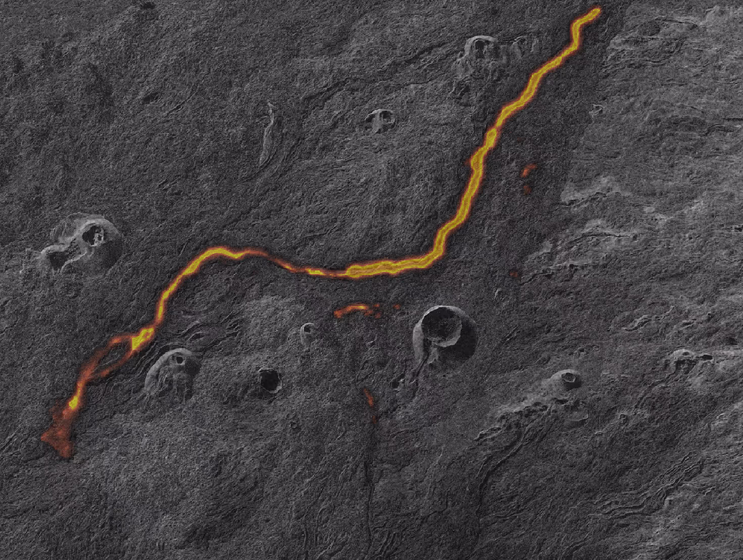
The new availability of high-resolution SAR satellites from commercial providers allows researchers to study deforestation at the centimeters scale. Figure 1 shows a Capella (high-resolution SAR) image at 50cm in comparison with Sentinel-1 (medium-resolution SAR) and Sentinel-2 (optical) images. With these technological advancements, it is now feasible to map forests more accurately.

“The high-resolution SAR image from Capella Space provides more accurate and detailed information on land cover without being heavily affected by cloud cover or darkness,” said Associate Professor of Radar Remote Sensing Johannes Reiche. “It has the potential to detect forests with a higher level of detail which may enable a more accurate assessment of forest changes.”
To utilize high-resolution SAR images for forest monitoring, it is necessary to develop accurate research methods for the automatic detection of forested vs. non-forested areas. Traditionally, polarization or machine learning methods have often been used, such as random forest (RF) and support vector machine (SVM) algorithms. However, high-resolution SAR images often have single polarization with intra-class variability caused by micro-topography and small objects. This makes it difficult for these traditional machine-learning AI methods to automatically detect the true land cover.
To overcome this challenge, semantic segmentation in deep learning is a potential solution due to its ability to extract useful features and efficiently process a large amount of data. So far, scientists have developed various encoder-decoder networks that show outstanding performance in a variety of disciplines including remote sensing. With recent technological advancements, it is now feasible to map forests more accurately. Radar remote sensing researchers in the Geo-information Science group at Wageningen University, the Netherlands, are exploring these methods with high resolution SAR data from Capella Space to shed light on small-scale forest changes. These methods can help the broader scientific community better understand how to curb the growing severity of deforestation and biodiversity loss.
Curious Which Of Our Analytics Partners
Can Support Your Mission?
Contact our team to explore the possibilities. Our experts can help
you determine the optimal solutions for your unique needs.

Keywords

Stay Informed. Stay Ready.
Get briefings on new capabilities, technology improvements, and upcoming events.


.avif)
