Taskable InSAR at Your Fingertips
Detect millimeter-scale ground movement with industry leading automated, 3-day revisit SAR collections. Continuous, InSAR-ready data for operational decision-making.
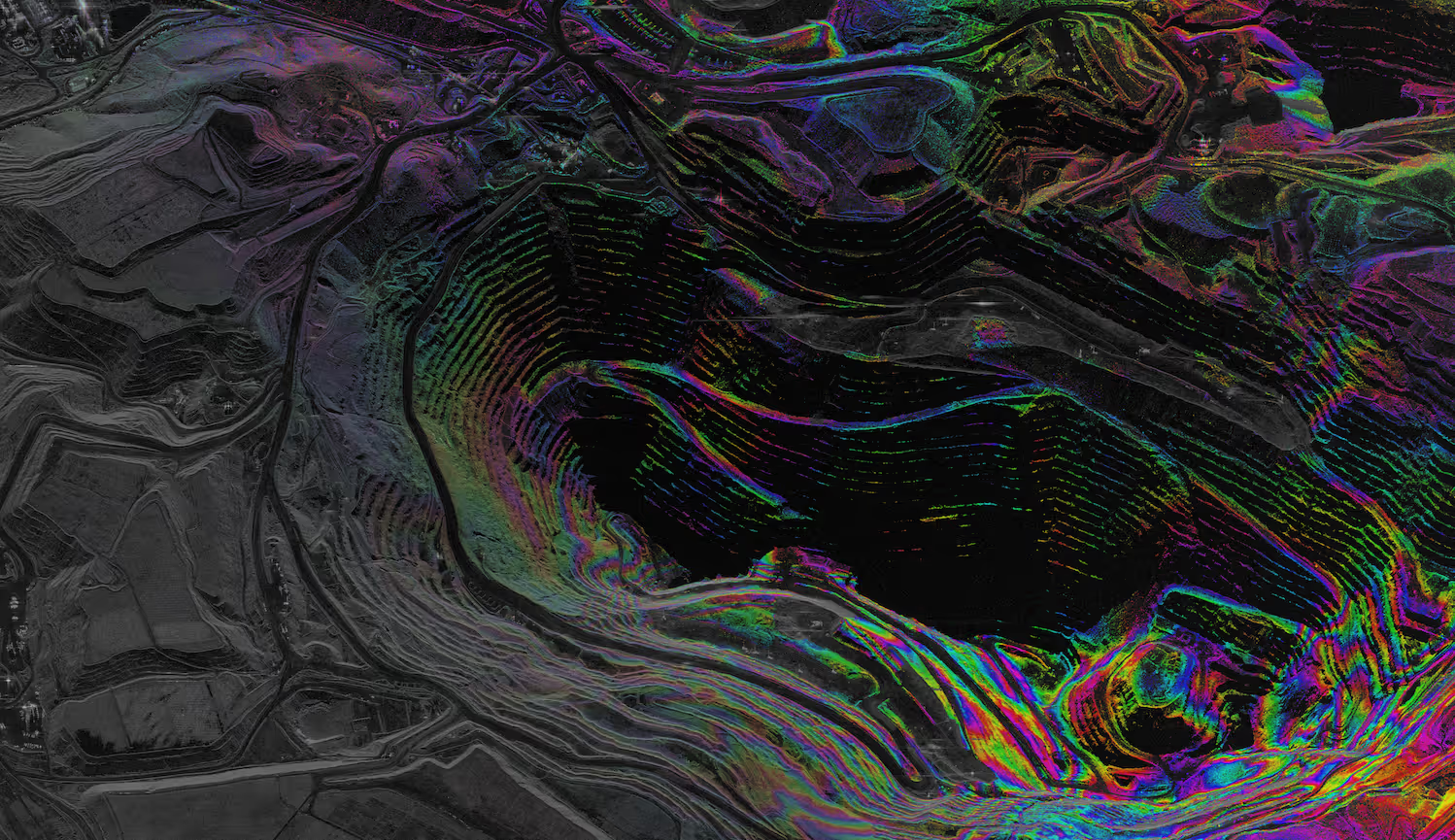
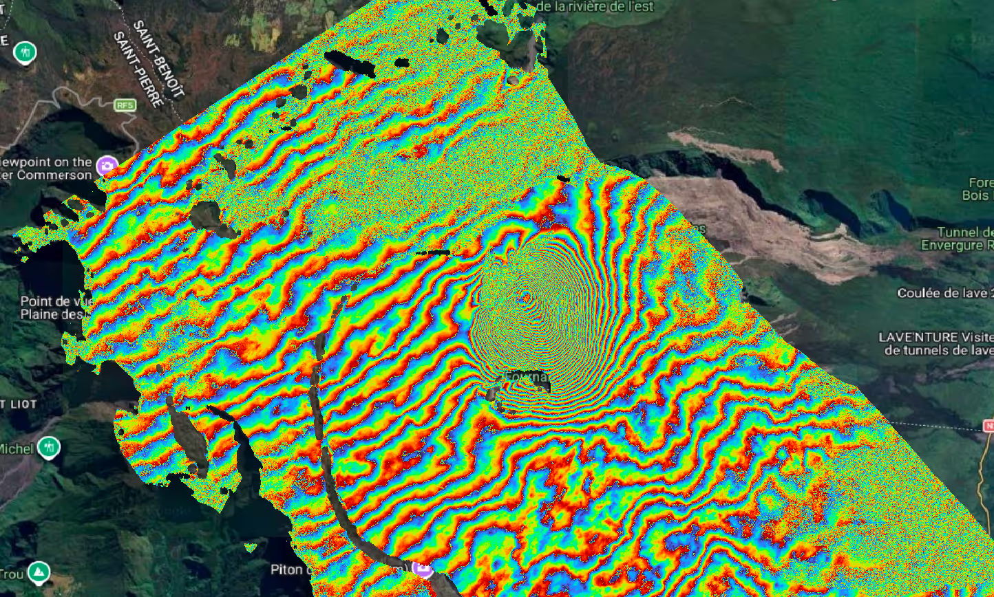
Confidently Track Millimeter Change Over Time
INSAR SOLUTIONS
What Is InSAR?
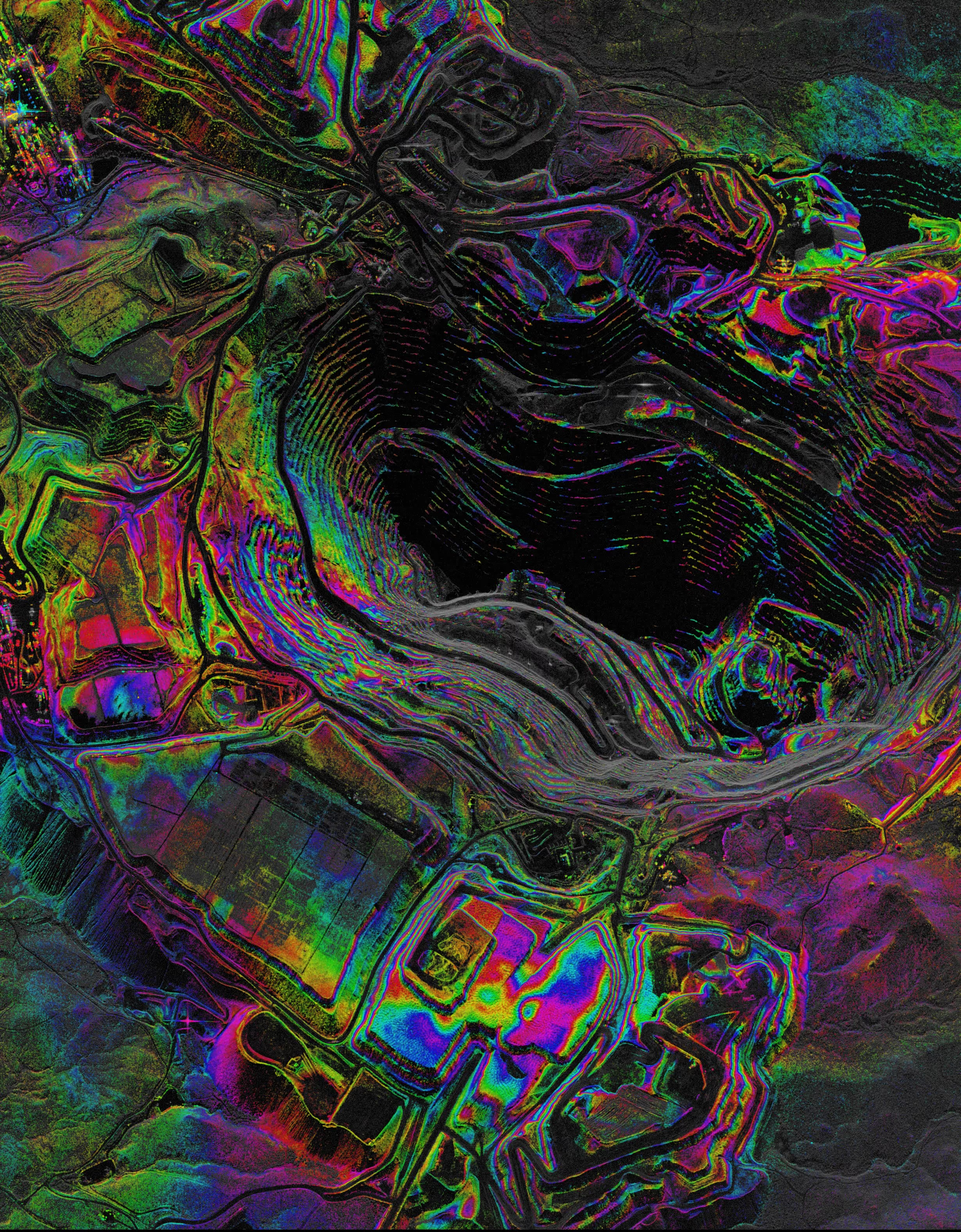
Interferometric Synthetic Aperture Radar (InSAR) uses the phase information in SAR imagery to measure how the Earth’s surface moves over time. By comparing SAR data collections, InSAR detects displacement at millimeter precision, across large areas, in any weather, day or night. This makes it essential for understanding subtle changes that signal risk, instability, or emerging events.
INSAR SOLUTIONS
A New Standard for Monitoring
InSAR has long been one of the most powerful tools in Earth observation—capable of detecting millimeter-scale surface change. But historically, it’s been limited by inconsistent revisit intervals, unpredictable acquisition geometry, manual coordination, and fragmented workflows. With taskable InSAR, data becomes operational, automated, and continuous—enabling earlier detection, stronger time-series analysis, and faster decisions.
.avif)
INSAR SOLUTIONS
Built on Research. Backed by Data.
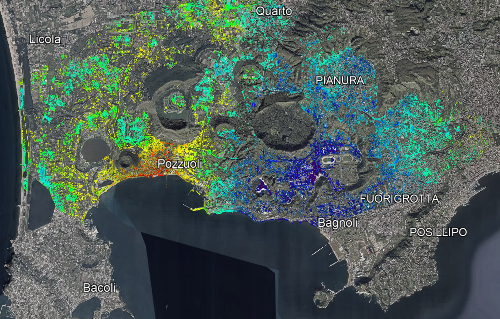
Recent research using Capella SAR data demonstrates true 3D ground displacement measurement—including the north–south component—with millimeter-level accuracy. By combining multi-angle observations across SSO and mid-inclination orbits, this unlocks a more complete, reliable view of how the Earth is changing.
Walk Through Demo
HOW IT WORKS?
Task InSAR in Minutes. Monitor Continuously.
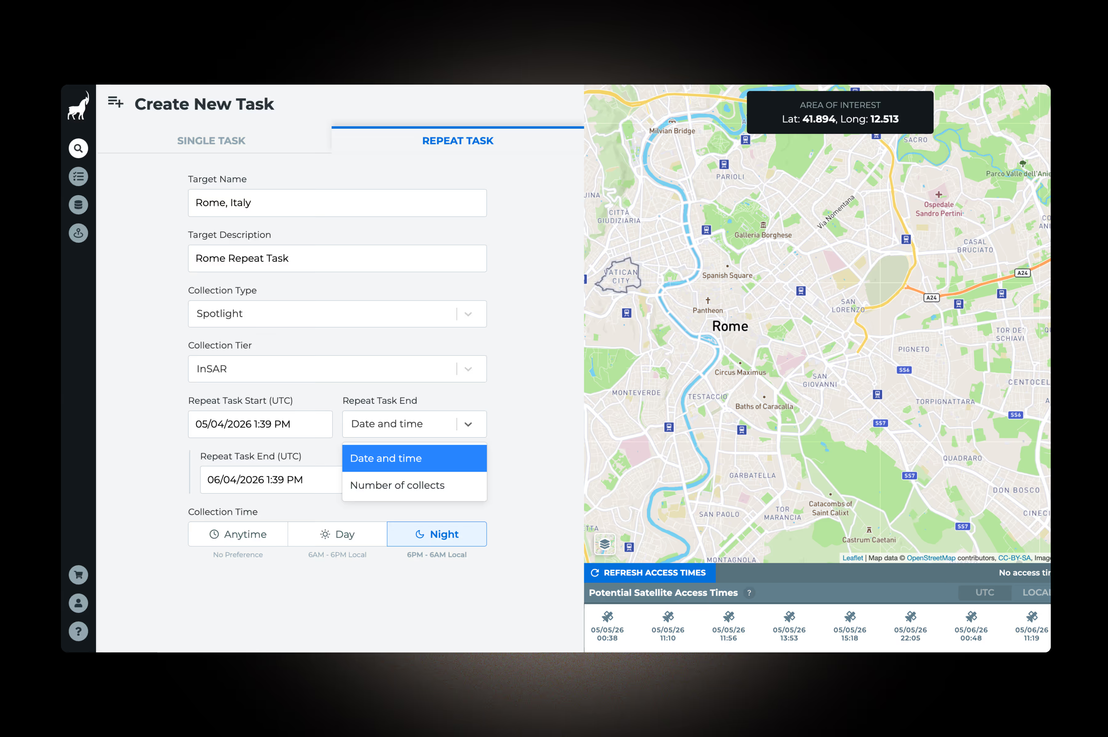
Define Your Area
Select your area of interest—whether it’s infrastructure, terrain, or a specific asset.
- Define your AOI directly in the Capella Console or via API
- Select your desired collection mode (Spotlight or Stripmap) based on monitoring needs
- Establish a baseline stack (typically ~15+ collections) to support time-series analysis

Set Your Cadence
Choose your repeat interval (e.g., ~3-day monitoring) to match how frequently you need insight.
- Configure standard repeat intervals (3-day, multiples of 3, or 7-day cycles)
- Increase temporal density to detect early-stage deformation trends
- Align revisit frequency with the dynamics of your use case
Task and Automate
From there, scheduling, acquisition, and delivery are fully automated.
- Submit repeat-pass tasking under the InSAR Collection Tier via Console or API
- Capella’s automated system maintains consistent acquisition geometry across collections
- Receive continuous delivery of InSAR-ready SLC data, compatible with standard processing workflows

Ongoing Mission Support
From initial setup to ongoing monitoring, our team ensures your InSAR program is successful.
- Access to customer success and mission support for time-sensitive needs
- Guidance on collection strategy, cadence selection, and data suitability for your use case
- Support connecting with analytics partners for InSAR processing and interpretation
INDUSTRIES
InSAR Delivers Mission Impact
Taskable InSAR enables organizations to detect change earlier, monitor continuously, and act with confidence in dynamic environments.
.avif)
Defense & Intelligence
Detect subtle terrain and asset movement to support mission planning, situational awareness, and activity monitoring in denied or remote environments.
Maritime Awareness
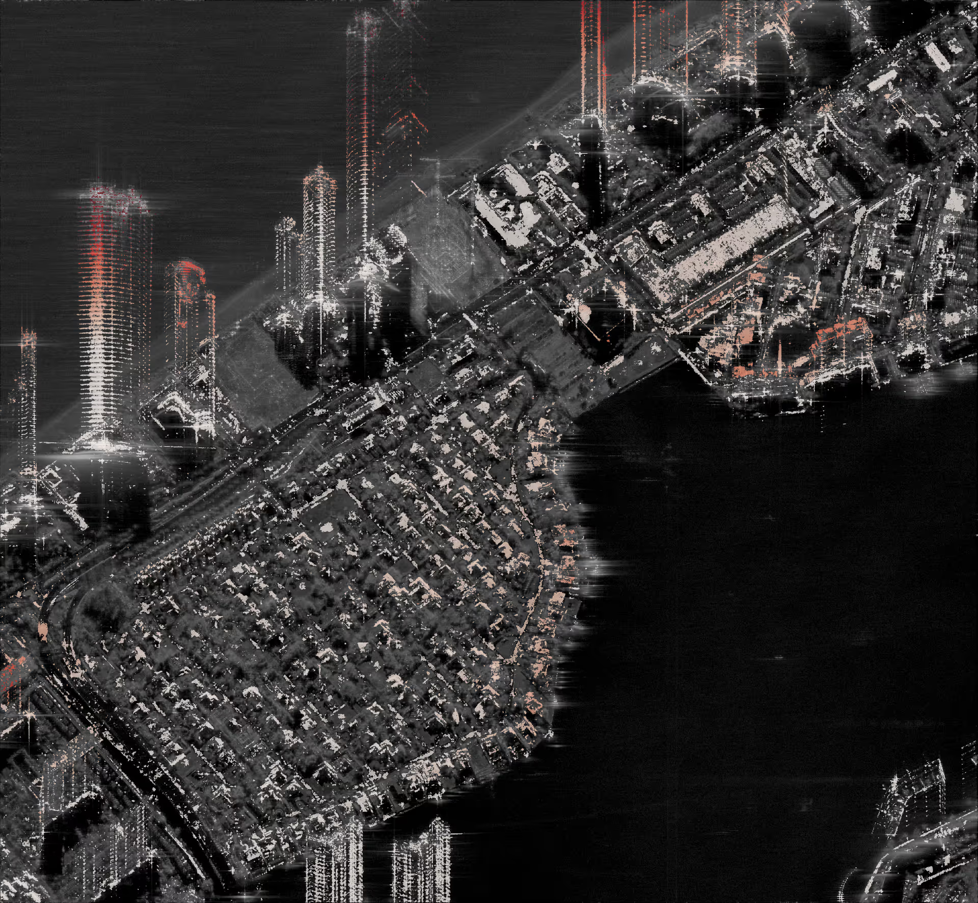
Monitor coastal infrastructure, ports, and shoreline stability to detect subsidence, structural risk, and environmental change across critical maritime zones.
Disaster Response
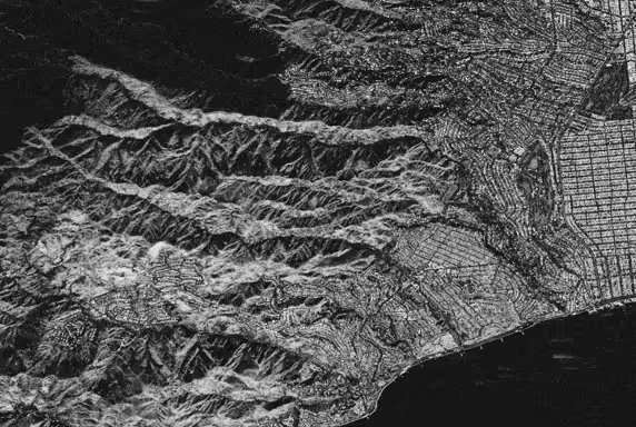
Identify early indicators of fires, landslides, ground instability, and post-event deformation to support faster response, damage assessment, and recovery planning.
Infrastructure & Asset Monitoring
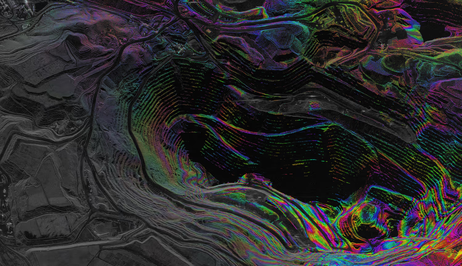
Track millimeter-scale movement across bridges, pipelines, mines, and urban environments to detect risk early and maintain operational continuity.
Recommended Resources
.png)
Space Development Agency Awards Capella HALO Europa Award
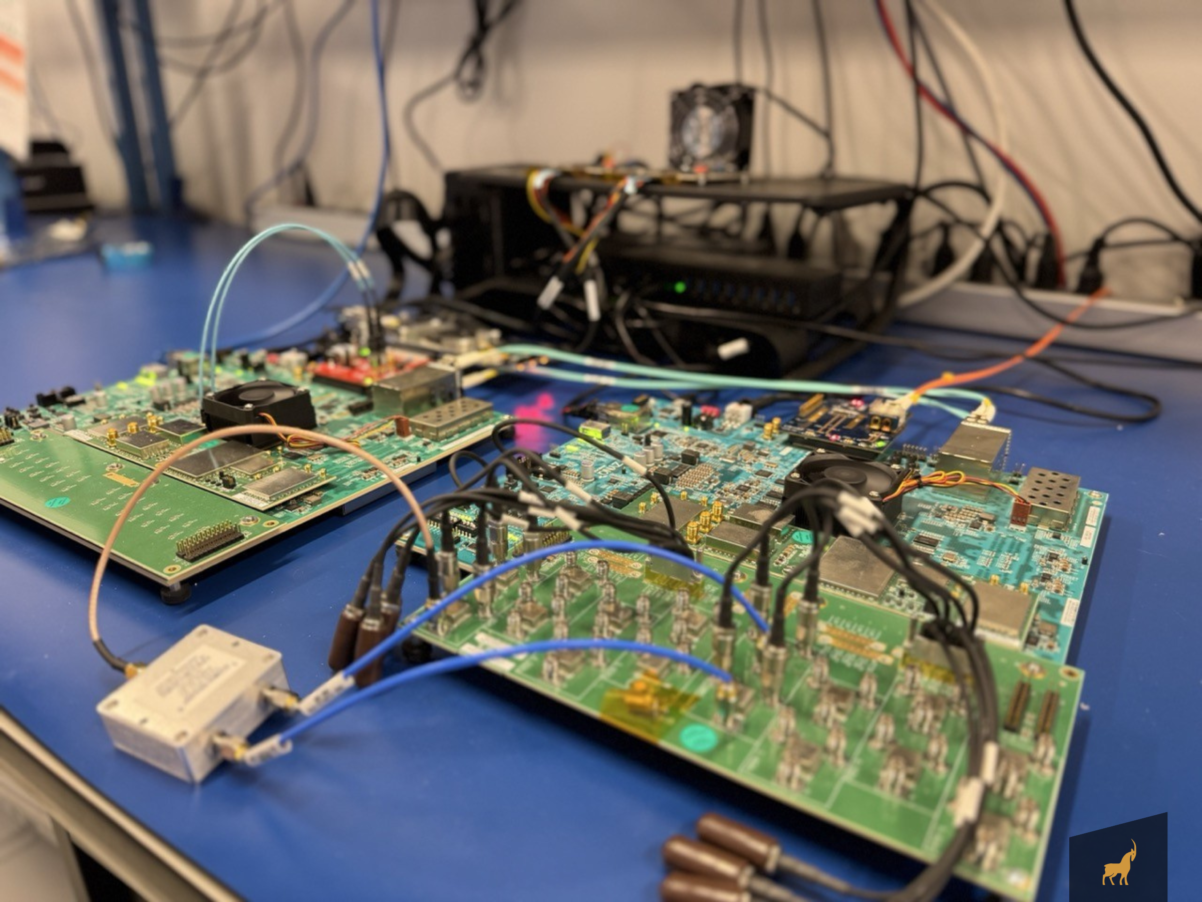
How FPGAs Power Capella’s Space Innovation

IonQ Completes Acquisition of Capella Space, Advancing Vision for Space-Based Quantum Communications
.png)
How SAR is Reshaping the Earth Observation Industry in 2025
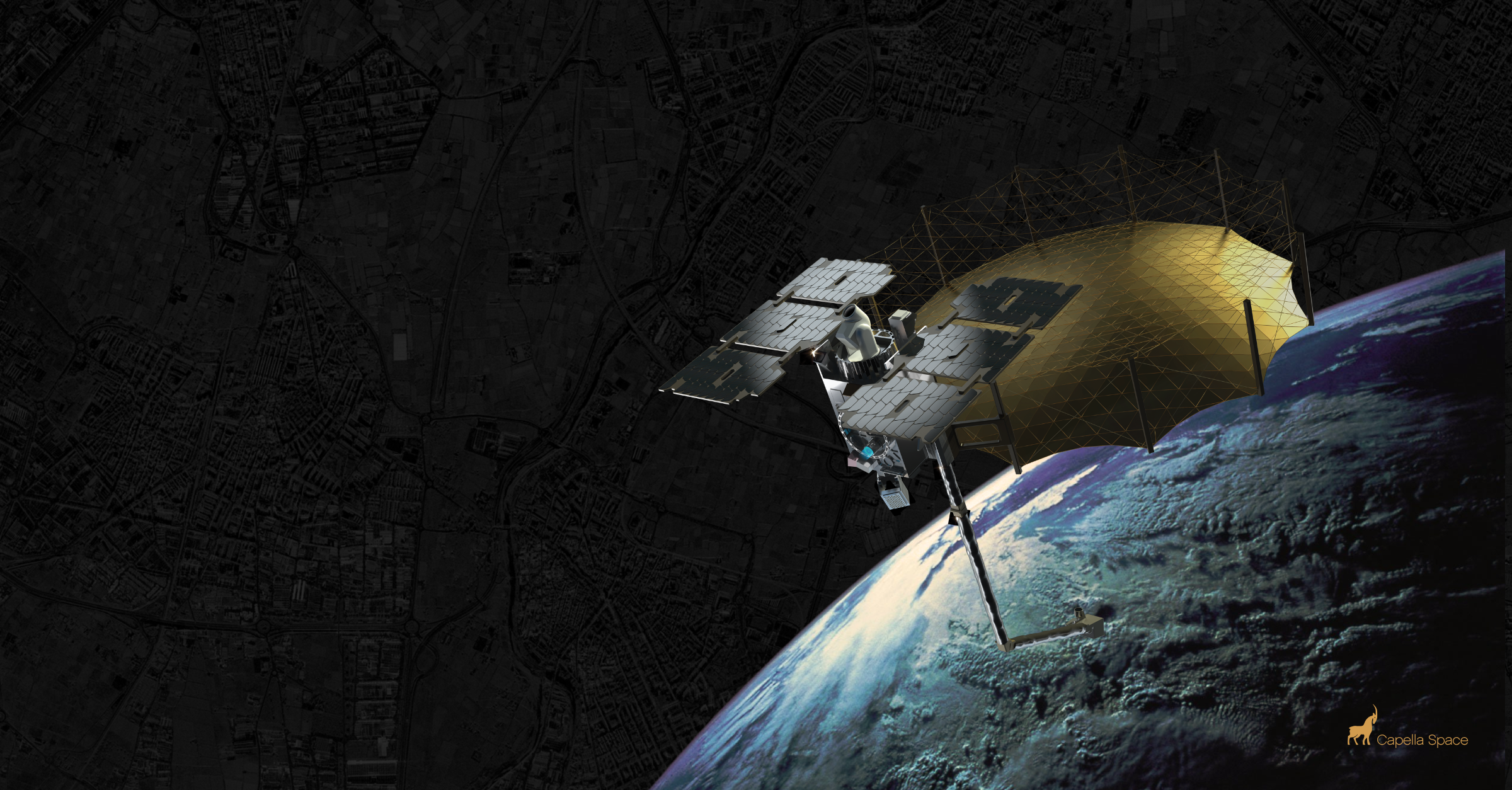
The Impact of Small Satellite Constellations on Earth Observation
.png)
Understanding Sun Synchronous Orbits with Capella Space

Building for the Future: Capella Space Satellites
Latest Insights And News
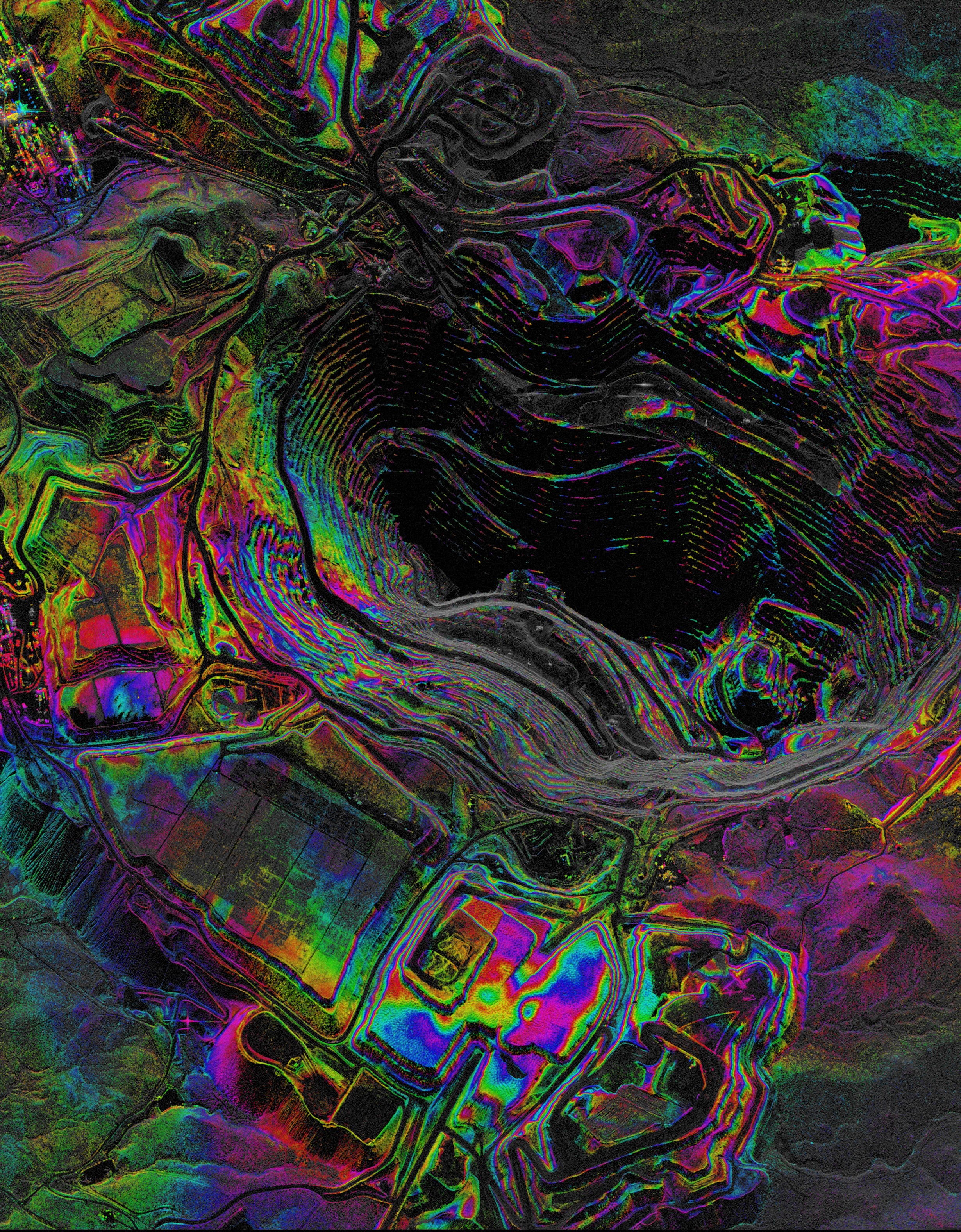
Capella Space Debuts InSAR Sat Service For Surface Monitoring




FAQ
Ask us anything
Does Capella deliver processed interferograms or displacement maps?
No. Capella delivers InSAR-ready data products. Customers process these through their own workflows or through an Analytics Partner. If you need help identifying the right partner for your use case, Capella can assist.
Which collection modes are supported for InSAR?
Spotlight, Stripmap 100, Stripmap 50, and Stripmap 20. Stripmap modes are most common for time-series monitoring programs; Spotlight modes are used for high-resolution site-specific monitoring.
What are the frame dimensions for each collection mode?
Stripmap is available in widths of 5–10km (configurable at order time) and in lengths of 20, 50, or 100km. Pricing varies by length. Spotlight produces a 5x5km frame, which is standard. Frame size does not vary with resolution in Spotlight. The long dwell time on a small area is what enables high-resolution imaging.
What repeat interval is available, and what happens if a collection is missed?
The standard InSAR cadence is a 3-day repeat cycle; 6-day and 7-day repeat are also available. If a scheduled acquisition is missed, retry behavior depends on your tasking configuration. Contact us to discuss automated retry options and how cadence recovery is handled within your program.
What is the orbital tube, and does Capella offer an SLA around it?
Capella maintains a 500-meter orbital tube meaning repeat collections are acquired within 500 meters of the same ground track. This spatial consistency is essential for phase coherence across a time series. Customers may reject images that fall outside this SLA for InSAR purposes.
What repeat interval is available?
The standard InSAR cadence is a 3-day repeat cycle. 7-day repeat is also available.
How does InSAR differ from standard Capella SAR tasking?
Standard SAR tasking optimizes for individual image quality at any available geometry. InSAR tasking constrains collection geometry to maintain a consistent repeat ground track, which is required for phase coherence across a time series. This is managed automatically under the InSAR Collection Tier. You do not need to manually constrain geometry.
How precise are Capella's orbital estimates, and does this affect InSAR usability?
Orbit precision is critical for InSAR. Inaccurate satellite position estimates can introduce phase errors that affect data quality. Capella maintains high-quality orbit products as a standard part of our data pipeline, and image metadata includes both absolute and relative orbit numbers. If you have specific quality requirements for orbit precision, contact us to discuss how our collection and QA workflows can support your program.
What processing software is compatible with Capella SLC data?
Capella SLC products are compatible with major commercial and open-source InSAR processing platforms. Your analytics team or partner can confirm specific toolchain requirements.
Is archive data available for InSAR use?
Yes, where repeat-pass collections at consistent geometry have been made. Contact us to assess archive coverage for your AOI.
Haven’t Found What You Needed?
Our expert team is here to support your mission and help you get the insights you need.
.avif)
.avif)
Put InSAR to Work
Access consistent, high-frequency InSAR data—delivered as continuous, decision-ready time series.